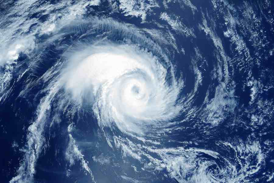
A cyclonic circulation is set to take shape over the Bay of Bengal and is likely to intensify into the season’s first tropical cyclone by next week, according to the Met office.
When the cyclone will be close to the land and what will be its possible destination are still not clear, said an official.
“A cyclonic circulation is set to take shape over the southeast Bay of Bengal on May 6. It is likely to turn into a low-pressure area on May 7, a depression on May 8 and a cyclone around May 9. From the southeast Bay, the system is likely to move in a northerly direction and reach the central Bay when it may turn into a cyclone,” said G.K. Das, director, India Meteorological Department, Kolkata.
“What the course of the system will be after it turns into a cyclone will be clear over the next few days. But there is a possibility that the storm will intensify further after becoming a cyclone,” said Das.
Once the system turns into a cyclone, it will be called Mocha, a name given by Yemen. Mocha is a port city on Yemen’s south-western coast that borders the Red Sea.
The name’s association with coffee goes back more than six centuries, when the city was said to be a thriving coffee hub.
May is the most favourable time for tropical cyclones on the Bay of Bengal. Aila, Amphan and Yaas all struck Bengal in May.
“It is still very early to predict. If the cyclone comes near land, Odisha, Bengal, Bangladesh and Myanmar can be the approximate range, based on precedents. Specific predictions like when it comes near the coast, the intensity at that time and the possible destination will emerge later. But from the time the system turns into a cyclone, it is likely to take 24-48 hours to come near the coast,” said a Met official.