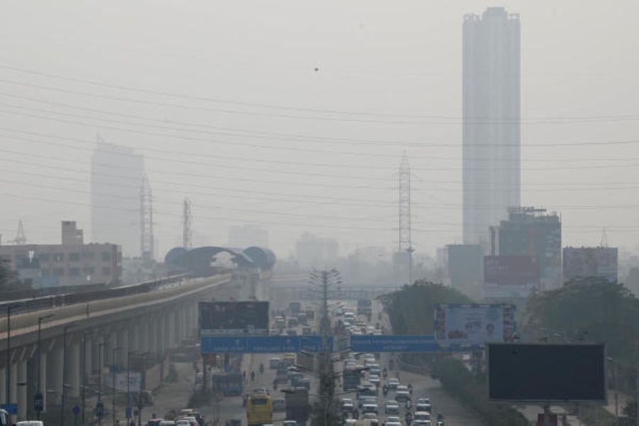
A sharp rise in Celsius caught Kolkatans off guard on Tuesday.
In the afternoon, many people on the streets were seen carrying warm clothes in their hands. At many homes that used quilts a day ago, the fan was in half pelt.
"I walked from Lake Market to Gariahat in the afternoon. I was wearing a jacket. Mid-way, I was forced to take it off," said Souptik Biswas, a 29-year-old graphics designer, who lives near Lake Mall and was going to meet a client.
The next couple of days in Kolkata are likely to see more than one spell of rain. But the showers are unlikely to drag the day temperature down significantly, like it did earlier this month.
On Sunday, the maximum temperature was 23.7 degrees Celsius, almost three notches below normal. The minimum was 12.9 degrees, two notches below normal.
By Tuesday, the maximum shot up to 26.9 degrees and the minimum settled at 16 degrees.
The Celsius had started rising on Monday itself. The maximum and minimum were 25.4 and 13.6 degrees, respectively. But the hint of chill was very much there.
The Met office attributed the rise in Celsius to a spike in the moisture incursion from the Bay.
"A high-pressure zone is in the works over the Bay of Bengal. A cyclonic circulation lies over west Bihar and neighbourhood. As a result, there is a lot of moisture incursion from the Bay. The moisture has stalled the flow of northwesterly winds, pushing the Celsius up," said G.K. Das, director, India Meteorological Department, Kolkata.
The minimum relative humidity, a marker of the humidity in the atmosphere during the driest part of the day, was close to 60 per cent on Tuesday, up from around 30 per cent a couple of days ago.
The day temperature went up because of direct sunlight, Das said.
"The previous rainy spell was preceded by a dense layer of fog extending from over Delhi and Punjab to Gangetic Bengal. The layer descended, riding strong northwesterly winds. After the northwesterly winds weakened, there was no mechanism to lift the fog. But now, there is no such dense layer of fog to shield the sun and keep the day cold," said Das.
If rain comes, the minimum temperature may rise marginally. The maximum is likely to drop but not to the extent that we saw in the third week of January, said Das.
The system over Bihar, which is likely to descend to Jharkhand — and increase the likelihood of showers in Kolkata by Wednesday — is a by-product of a Western Disturbance, the Met office said.
In a bulletin issued on Tuesday, the IMD headquarters in Delhi said: "Two Western Disturbances in quick succession are likely to affect northwest India during the next 5-6 days".
