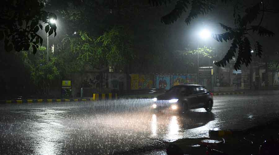
A cyclonic circulation hovering over Uttar Pradesh and its neighbourhood triggered rain and thunderstorms in several parts of Jharkhand on Thursday evening.
The cyclonic circulation, which was caused by the residual effect of cyclone Tauktae that originated from the Arabian Sea and resulted in widespread devastation before landfall on the coast of Gujarat, was extending 3.1km above mean sea level.
Several parts of Jharkhand, including Jamshedpur, Ranchi, Bokaro, Ramgarh, Khunti and Seraikela-Kharsawan, witnessed thunderstorms, lightning and rain due to the impact of the cyclonic circulation.
The local IMD observatory in Jamshedpur recorded over 15mm rain between 6.30pm and 7pm. Rain was continuing even after 7pm.
Ranchi recorded around 2mm rain while several other districts experienced around 10mm of rain.
Satellite pictures indicated a cyclonic circulation over southwest Uttar Pradesh and a trough over neighbouring Bihar, extending upto 0.9 km above mean sea level.
Based on satellite pictures and radar inputs, Ranchi Meteorological Centre issued frequent nowcasts (short-term forecast) since Thursday afternoon indicating moderate thunderstorms and showers in central and southern Jharkhand.
Chaibasa in West Singhbhum, Gumla, Simdega , Dhanbad and Deoghar were among other places that experienced thundershowers and lightning.
Head of Ranchi Met Centre Abhishek Anand said light rain or thunderstorms are expected in isolated pockets, especially in central, north-east and southern Jharkhand, in another 24 hours due to the impact of the cyclonic circulation.
He also hinted at a gradual rise in maximum readings after the next 24 hours, adding that the cyclonic circulation over Uttar Pradesh was resulting in heavy moisture incursion into the atmosphere from Bay of Bengal which resulted higher humidity and discomfort index in most parts of the state.


