Google continuously builds new — and helpful — features into Google Maps. The app has evolved a great deal during the pandemic, thanks to relevant alerts it offers. Maps is also helping businesses display accurate information on temporary closures, delivery/takeaway and so on.
The Telegraph chatted with Anal Ghosh, senior programme manager, Google India, about how his team is leading efforts to grow/engage users and improve the product experience (Google Maps, Local Search, Google My Business) in India.
Though it looks easy to find Covid-related information on Maps, what have been some of the technical challenges in collating and analysing information?
Our primary objective during the pandemic was to make Maps more comprehensive, accurate and reliable. Over the past few months, we have surfaced features like food and night shelters, as well as Covid-19 testing centres across the country. However, to build these features we faced challenges on two fronts. First, we had to make sure that we bring these features to as many people as possible, across languages and devices. We had to develop these features to launch simultaneously across Maps, Search and Assistant, as well as on platforms like KaiOS and voice services like the Vodafone Idea Phone line.
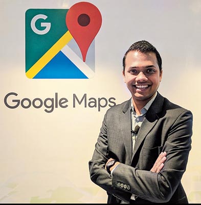
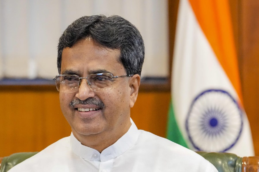
Over the last six years, we have invested significantly in making Google Maps more relevant, reliable and accurate in India, resulting in India becoming one of our top three countries globally — Anal Ghosh, senior programme manager, Google India Sourced by the Telegraph
Second, we had to ensure that we keep the information fresh, and share authoritative, real-time data in an environment with constantly shifting ground realities. We collaborated with multiple central and state authorities uninterruptedly to verify the data and provide a seamless discoverability of food and night shelters and testing centres.
What’s the most crucial source of information as Maps evolve in a world affected by the pandemic?
We always strived to find the most trusted and authentic source of information to surface on our platforms. For example, we have been working with the ministry of health and family welfare (MoHFW), traffic authorities, Indian Council of Medical Research (ICMR) and MyGov to provide users with authoritative local information over the course of the pandemic. We will continue to work with authorities and with official bodies that provide authentic sources of information.
Movement to workplaces in India — with the unlocking process on, what has been the reception to this feature?
Our Community Mobility Reports use aggregated, anonymised data to provide high-level insights into what has changed regarding movement across various public locations. Similar to Google Maps that help identify when a local business tends to be the most crowded, these reports offer insights on how human mobility has changed in responses to policies and measures implemented by governments across the country.
These reports are being used by authorities to get insights into the effectiveness of response policies (like, physical distancing, lockdowns or forced quarantine) aimed at combating Covid-19. Moreover, by analysing movements of people to local markets, groceries, pharmacies, workplaces and so on, authorities are better able to compare trends across all states and regions in the country and initiate necessary measures to manage the pandemic.
It’s difficult to find the exact business hours of, say, takeaways. How is Google helping the process?
We have rolled out Covid-focused features in Google My Business, which enables business owners to easily update information around business hours, delivery/ takeaway, temporary closures, online appointments etc. Moreover, we have ensured this information is prominently surfaced on Google Maps and Google Search when users look for them. We have also rolled out features that are especially useful to restaurants, to keep their business data updated so their customers have the most accurate information.
In addition, we are also working with our large community of Local Guides in India, to provide information on such changes, which we are updating on the listings post-verification.
What do you think Google Maps would look like five years down the road?
Fifteen years ago, we set out to chase a big, audacious goal of mapping the world. Even basic things that we take for granted today like live traffic or turn-by-turn directions on your phone were simply not possible 15 years ago. Over the years, we’ve constantly brought new innovation to Maps, pushing the boundaries of how technology can help you get around in the world.
Five years down the road, our focus will remain on making Google Maps more useful and reliable for our users as they search, explore, and navigate around their world. We will continue our investments in India-specific features and experiences, and in making the product more locally relevant.
You have been with Google India for over six years. What have been some of the most memorable moments for you?
Over the last six years, we have invested significantly in making Google Maps more relevant, reliable and accurate in India, resulting in India becoming one of our top three countries globally. It’s been amazing to have contributed to the journey, and there are multiple memorable moments that stand out: launching two-wheeler mode, more than 20 million SMBs now being listed on Maps, the success of landmark navigation and offline mode, public transport coverage across the country, getting 57,000 public toilets online, the exponential growth of our Local Guides community and more. More recently, with the Covid-19 pandemic taking centre stage, it was very rewarding to build useful features for our users, and partner closely with multiple government entities. At Google, you are always looking to solve complex large-scale problems, while collaborating with the smartest people around in a truly inclusive environment — that’s been a constant motivation.
On the Apple-Google contact-tracing effort Google and Apple jointly created the Exposure Notifications System out of a shared sense of responsibility to help governments and our global community fight this pandemic through contact tracing.
Public health authorities around the world are building apps that use the Exposure Notifications System to help their contact tracing efforts. When a user opts in, the Exposure Notifications System will generate a random ID for their device. To help ensure these random IDs can’t be used to identify a particular user or their location, they change every 10-20 minutes. Their phone and the phones around them will work in the background to exchange these privacy-preserving random IDs via Bluetooth. Users do not need to have the app open for this process to take place. Their phone periodically checks all the random IDs associated with positive Covid-19 cases against its own list. If there’s a match, the app will notify with further instructions from a public health authority on how to stay safe. Note that the API that enables access to this Exposure Notifications System needs to be explicitly implemented by a recognised public health authority for it to function. Currently this API isn’t being used by any app in India providing contact tracing or exposure notification.


