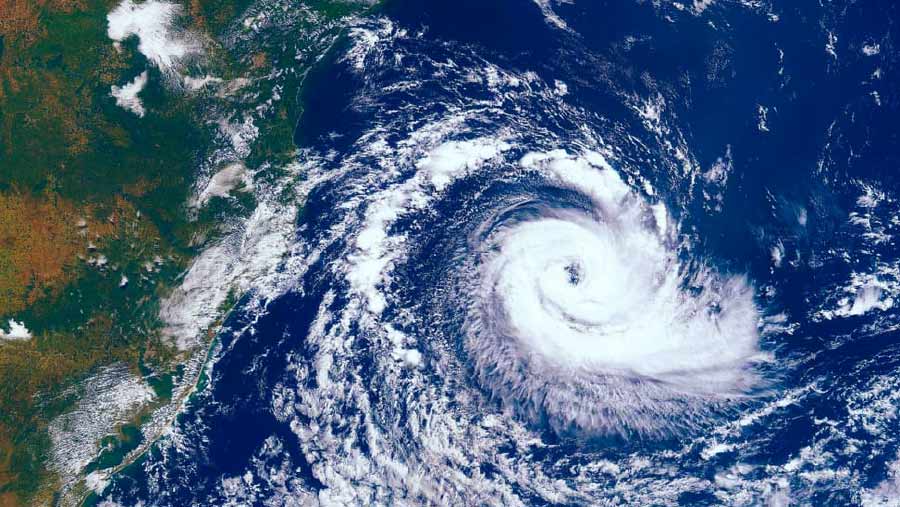
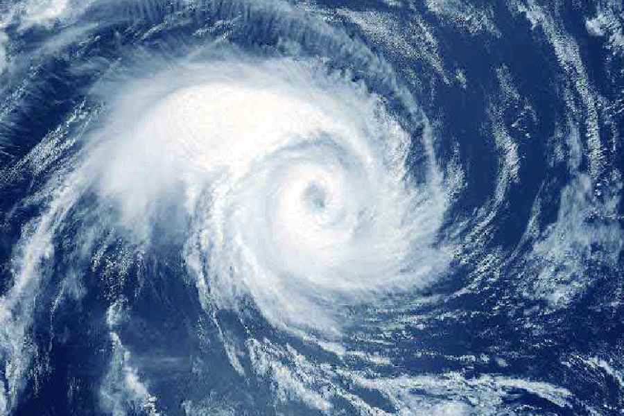
The projected landfall-point of Cyclone Mocha, which is likely to transform into a “very severe cyclonic storm” by Friday, is about 370 km away from the Sunderbans and hence is unlikely to cause any damage to the West Bengal coast, the India Meteorological Department said on Thursday afternoon.
The cyclone will recurve gradually and is expected to cause a landfall between Cox’s Bazar in Bangladesh and Kyaukpyu, close to Sittwe, in Myanmar, with wind speed touching 175 km per hour. Only if it takes a less sharp recurve and hits the more northern part of Bangladesh, closer to north east India, could it affect West Bengal. The ‘cone of uncertainty’ corridor, as provided by the IMD on Thursday, includes Chattogram (Chittagong) which is much closer to the Indian border.
“Not much impact is expected on the West Bengal coast unless the cyclone changes the expected course and comes closer. However, there may be some rain in the coastal areas,” an IMD official told The Plurals.
Professor Raghu Murtugudde, an earth scientist and weather expert attached to IIT Mumbai and University of Maryland, pointed out that the warm wind spell prevailing in eastern India is responsible for the cyclone taking a recurve and heading towards the Myanmar-Bangladesh coast.
“In March and April, West Asia was unusually warmed up, which led eastern India, including West Bengal, to have a sustained warm wind spell. Expectedly, that wind is pushing the cyclone away from the Indian coast and steering the system towards the Bangladesh and Myanmar border,” Murtugudde said.
“Sustained heat in the region is favouring a stronger intensification of the cyclonic system. Moreover, the projected recurve ensures that the system remains for a longer time on sea compared to a straighter path, and gets more time to intensify,” Murtugudde said.
The National Bulletin No. 11, issued at 4.30 pm on Thursday, pointed out that cyclone Mocha will “gradually intensify into a severe cyclonic storm around evening of today, May 11, and further into a very severe cyclonic storm by May 12 morning over the central Bay of Bengal. Thereafter, it is likely to recurve gradually and move north-northeastwards with further intensification. It is likely to cross southeast Bangladesh and north Myanmar coasts between Cox’s Bazar (Bangladesh) and Kyaukpyu (Myanmar), close to Sittwe (Myanmar) around noon of May 14, 2023 as a very severe cyclonic storm with maximum sustained wind speed of 150-160 kmph gusting to 175 kmph”.
Analysis of IMD predictions show that the cyclone is getting intensified more compared to what was originally predicted. Bulletin 1 issued at 9.45 pm on May 9 predicted a maximum speed of 130 km per hour before landfall; while the last bulletin issued on Thursday at 4.30 pm suggested a likely maximum system of 175 km per hour.
Moreover, the intensification is happening quicker than originally predicted. Bulletin 9, released at 11.45 am today, predicted the formation of a very severe cyclonic storm “around May 12 evening” while bulletin 10 issued after three hours, at 2.45 pm, pointed out at a very severe cyclonic storm “by May 12 morning”.
“We are upgrading the likely maximum sustained surface wind speed but it's not unnatural. It’s a dynamic system and such changes are possible … we are making the predictions early enough to ensure that enough precautions are taken before landfall,” Mrutyunjay Mohapatra, director general of IMD, told The Plurals on Thursday evening. Mohapatra also said greater impact is likely in Myanmar as normally the larger impact is felt to the right of the landfall.


