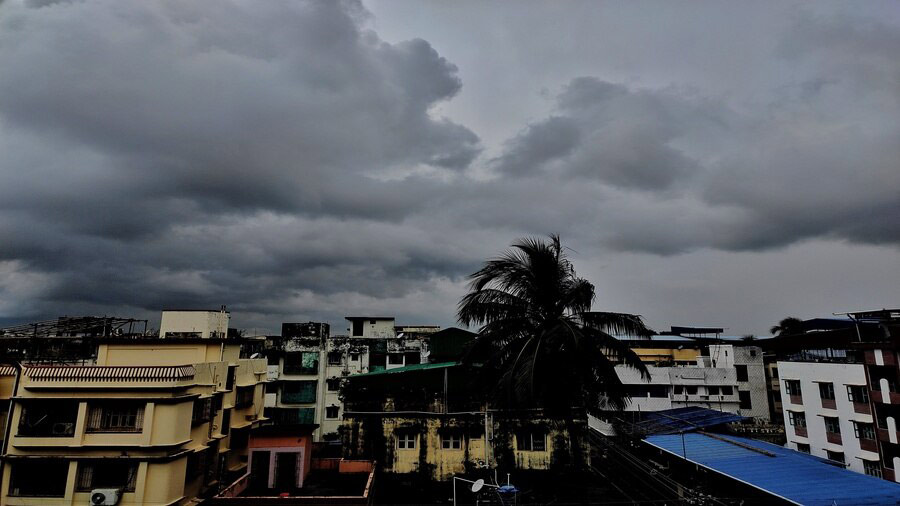
Cyclone Mocha is likely to recurve towards the Bangladesh-Myanmar coastline, sparing West Bengal, the India Meteorological Department (IMD) said on Monday.
The IMD clarified that no warning has been issued for the east coast of India, including West Bengal.
“Around 8.30 am on Monday, a low-pressure area was formed over the southeast Bay of Bengal and the adjoining south Andaman sea. It is likely to intensify into a depression on May 9 over the same region and further into a cyclonic storm over the southeast Bay of Bengal and adjoining areas of east central Bay of Bengal and Andaman sea on May 10. It is likely to move initially north-northwestwards towards east central Bay of Bengal till May 11. Thereafter, it is likely to recurve gradually and move north-northeastwards towards the Bangladesh-Myanmar coast,” said Mrutyunjay Mohapatra, director general, IMD, on Monday afternoon.
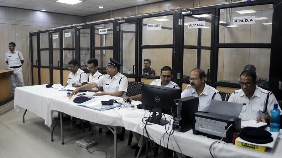
Integrated control room set up at Lalbazar for the cyclone My Kolkata
“We will only be able to say whether there will be significant rainfall in West Bengal once the depression is formed. It will depend on how far from West Bengal coast the cyclonic system will pass; but as of now, there isn’t any rainfall warning,” Mohapatra told The Plurals on Monday evening.
G.K. Das, head of weather section, IMD Kolkata, however, said, “We are not ruling out any impact over the Bengal coast as the cyclone system covers a wide area; and depending on the actual path, the Sunderbans may be affected.”
The tropical cyclone report released by the IMD on Monday mentions the possibility of intensification into “severe” to “very severe cyclonic storm” to pass over the Bangladesh-Myanmar coast.
“Considering the model guidance, IMD GFS is indicating a depression on May 9 over southeast & adjoining south Andaman sea with intensification into cyclonic storm on May 10 and peak intensification is indicated up to very severe cyclonic storm stage,” states the report.
The report further indicates “initial north-northwestwards movement till May 11 and gradual north-northeastwards recurvature thereafter” and states that “landfall is indicated around 14/0000 (UTC) (early on May 14) over the Bangladesh-Myanmar coast near 21.3N/92.5E” (a location close to the Bangladesh-Myanmar border).
Other models referred to also broadly indicate the similar path and zone of landfall; though few models only mentioned the possibility of “severe cyclonic storm”.