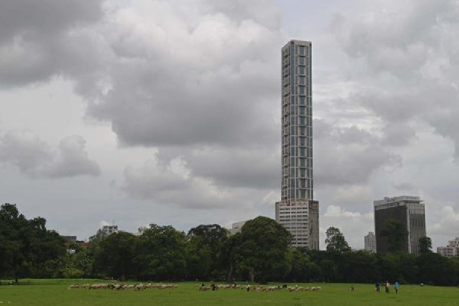
A fortnight into the rainiest month of the year, the Met office in Alipore has yet to register a single day of heavy rain.
Several parts of the city were lashed by more than 60mm of rain in some 8 hours from around 1am on June 28. The same volume of rain qualifies as heavy in Met parlance if recorded over 24 hours.
During the same period, however, the Alipore Met office recorded a little over 40mm of rain.
The deficit
The latest deluge in swathes of northern India has for the first time this year pushed the monsoon into surplus zone for the entire country. But Kolkata has so far registered a rain deficit of close to 50 per cent.
The city’s usual quota of rain between June 1 and July 13 is around 442.8mm, according to the Met office. But this year, Kolkata has received only 233.1mm of rain in this period. The deficit is 47.3 per cent.
In Kolkata, June usually sees around a dozen “rain days” and July around 18. “Rain days” are days when the Met office in Alipore records some precipitation. This year, June got 11 rain days and July so far only four.
“But the problem is not only about the lack of rain days. There has not been a single day of heavy rain this monsoon,” said G.K. Das, director, India Meteorological Department, Kolkata.
He attributed the rain deficit to the lack of low-pressure areas over the Bay of Bengal.
“So far, there has just been one low-pressure area over the Bay around June 25. Monsoon rain in lower Gangetic Bengal is dependent on a strong system over the Bay. An active monsoon trough passing through south Bengal alone is not enough to trigger heavy rain in Kolkata and adjoining areas,” said a Met official.
Forecast
The situation is likely to change though. The monsoon trough, now in the foothills of the Himalayas, is likely to descend by Saturday.
A cyclonic circulation is likely to take shape over the Bay of Bengal around Sunday and is expected to intensify into a low-pressure area in the next 48 hours. Met officials have predicted uniform rain in Kolkata from the weekend.
‘Confluence’
While south Bengal and eastern peninsular India are going through a rain deficit, north and northwestern India are in the middle of a devastating spell of rain.
A Met official at the IMD headquarters in Delhi attributed the heavy rain — which has wreaked havoc in Himachal Pradesh and created a flood-like situation in Delhi — to a “confluence” of a strong Western Disturbance and monsoon currents.
In peninsular India, the monsoon currents move from southwest to northeast. In north India, the movement is from southeast to northwest. They move from the Bay of Bengal towards Delhi.
This time, there was a Western Disturbance over northwest India. It had stopped the normal flow of monsoon currents.
“The Western Disturbance pushed the winds from west to east, whereas monsoon currents usually flow from southeast to northwest over north India. So, the two sets of winds interacted along a line. Both of them merged over northwest India. That region of friction or interaction was the region where maximum rainfall happened,” said Soma Sen Roy, an IMD spokesperson.
“The interaction peaked between Saturday and Monday. It has stopped now,” she said.
The confluence happened over not only Uttarakhand and Himachal Pradesh, but also over the plains of Rajasthan, Punjab, Haryana, western Uttar Pradesh and Delhi. So, this entire belt was battered by heavy rain.
Generally, monsoon systems form over the Bay and move northwestwards along the monsoon trough towards north India. “This time, cyclone Biparjay (which made landfall on the Gujarat coast on June 15) and the confluence of Western Disturbance and monsoon currents, both happened over northwest India. So, that region has got much more rainfall...” said Sen Roy.