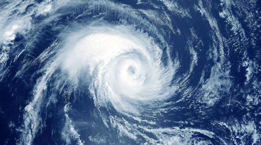
Tropical Storm Roslyn is forecast to strengthen into a hurricane by late Friday and hit land between the Mexican tourism resorts of Puerto Vallarta and Mazatlan over the weekend.
The storm — which formed off Mexico's southern Pacific coast — had winds of about 45 mph (75 kph) on Thursday afternoon, the US National Hurricane Center (NHC) said.
What do we know about Roslyn making landfall?
Roslyn was moving west at 7 mph (11 kph), but atmospheric conditions are likely to put the storm on a more northerly course in the next few days.
Predictions by the NHC show the storm could have winds as high as 100 miles per hour (160 kph) by late on Saturday in the ocean off the coast from Jalisco's Puerto Vallarta, making Roslyn a Category 2 hurricane.
A tropical storm warning has been issued from the port of Manzanillo to Cabo Corrientes. Forecasters at the NHC expect Roslyn to also bring heavy rain to Nayarit, the Islas Marias archipelago and parts of southern Sinaloa.
Who will be affected?
The government in the state of Jalisco said that tourism on the coast and mountainous areas had been restricted during the weekend.
People have been urged to stay away from the beaches.
A total of 300 civil protection officials were also on standby, authorities said.
The country's National Water Commission cautioned that rains from Roslyn could lead to mudslides and flooding.


