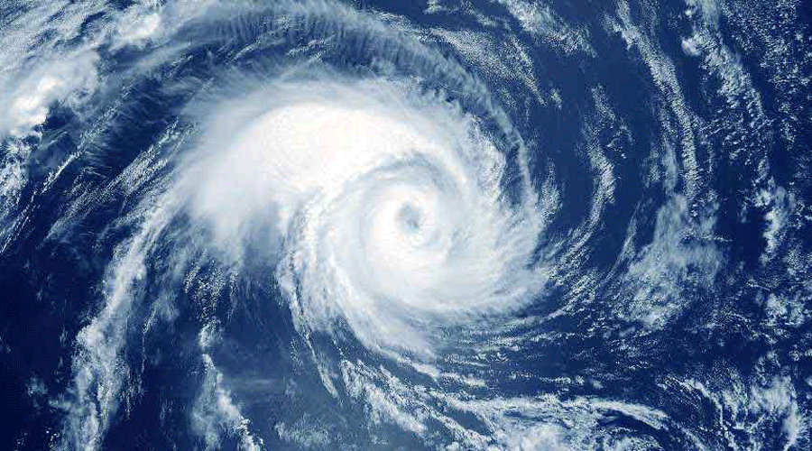
Hurricane Ian tore into western Cuba on Tuesday as a major hurricane, with nothing to stop it from intensifying into a catastrophic Category 4 hurricane before it hits Florida on Wednesday.
Ian made landfall at 4.30am EDT on Tuesday in Cuba’s Pinar del Rio province, where officials set up 55 shelters, evacuated 50,000 people, rushed in emergency personnel and took steps to protect crops in Cuba’s main tobacco-growing region.
The US National Hurricane Centre said “significant wind and storm surge impacts” were occurring on Tuesday morning in western Cuba.
Ian sustained top winds of 205kmph as it moved over the city of Pinar del Rio. As much as 14 feet of storm surge was predicted along Cuba’s coast.
After passing over Cuba, Ian was forecast to strengthen even more over warm Gulf of Mexico waters, reaching top winds of 225kmph before making landfall again. Storm-force winds were expected in Florida, reaching hurricane force on Wednesday morning.
The hurricane centre said there’s a 100 per cent chance of damaging winds and rain along Florida’s west coast.


