Cyclone Dana, which is expected to make landfall soon, poses a serious threat to several districts in West Bengal, including North and South 24 Parganas, East and West Medinipur, Howrah, Hooghly, Kolkata, and Bankura. The India Meteorological Department (IMD) has issued warnings of extremely heavy rainfall and strong winds across the state on October 24 and 25, predicting rainfall of over 21 cm in certain areas.
“As per our latest updates, we are expecting damage along North Orissa and West Bengal coast districts. Major damage may occur to thatched houses, huts, rooftops may blow off and metal sheets may fly. Minor damage may also happen to communication lines. Major damage to kutcha and some damage to pucca roads may also take place,” Monica Sharma from the cyclone warning division, IMD, New Delhi told The Telegraph Online.
The cyclonic circulation over the Andaman Sea on Monday intensified into a low-pressure area and is likely to turn into a cyclonic storm by October 23.
“In West Bengal the major areas of affect are North and South 24 Parganas, East & West Medinipur, Howrah, Hooghly, Kolkata and Bankura. For West Bengal, we have indicated extremely heavy rainfall for 24th and 25th of October. More than 21 cm of rainfall will occur on these days. When we say extremely heavy rainfall, it always means the accumulated rainfall. More than 20 cm rain falls in the range of extremely heavy rainfall,” added Sharma.
Kolkata may experience minor flooding and inundation because of the rains, according to the IMD.
The forecast indicates that the cyclone will make landfall on the Odisha-West Bengal coasts by the morning of October 24, with wind speed expected to reach up to 120 km/hour in some areas. Authorities have advised fishermen to stay away from the coastal areas, and those who are already at sea have been urged to return by October 23.
IMD DG Mrutyunjay Mohapatra on Sunday said that Odisha is likely to bear the maximum brunt of the cyclonic storm. Odisha coast may see heavy to very heavy rainfall and high wind speed up to 100 km/hour.
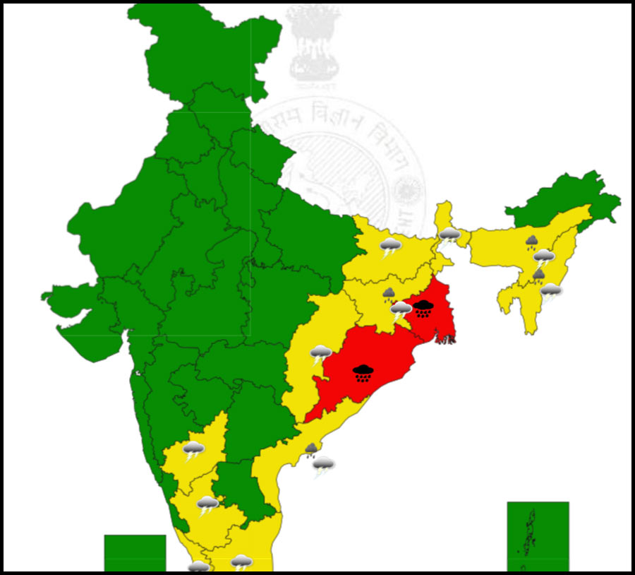
The IMD has issued a red warning (take action) of heavy to very heavy rainfall (7 to 20 cm) with extremely heavy rainfall (over 20 cm) and thunderstorms with lightning for Puri, Khurda, Ganjam and Jagatsinghpur districts on October 24.
The Odisha government has put district authorities on high alert and is preparing for potential evacuations in vulnerable areas.
(WITH INPUTS FROM PTI)