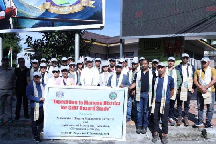
An expedition organised by the Sikkim government to study the glacial lakes in the Himalayan state was flagged off from Gangtok on Saturday.
Samdup Lepcha, the Sikkim minister for social welfare, women, and child development, flagged off the expedition from Zero Point in the state capital. The study will be carried out in the Mangan district of north Sikkim.
“The state disaster management authority and the department of science and technology are organising the expedition which has officials of different state departments,” said a source.
Officials of the departments of land revenue & disaster management; mines and geology; water resources, and forest and environment, along with representatives of central agencies and the Sikkim University, are participating in the expedition that will continue till September 14.
The team will conduct a detailed susceptibility assessment of six high-risk glacial lakes — Tenchungkha, Khangchung Chho, Lachen Khangtse, Lachung Khangtse, La Tsho and Shako Chho — in Mangan district.
“If time permits, a rapid assessment of a few other lakes will be attempted. However, three high-risk lakes (Gurudongmar A, B, and C) are not covered in the expedition as these are considered sacred lakes,” the source said.
The study has been commissioned to moot and take steps to mitigate the damage caused by glacial lake outburst floods (GLOFs). In October last year, a GLOF wreaked havoc on Sikkim and Kalimpong district in Bengal.
The experts will evaluate the lakes’ water volume, depth and longitudinal profile to characterise their physical dimensions using a bathymetry survey. They will also
perform a geophysical assessment of the lakes’ moraine dams to evaluate their stability and potential risk factors using an electrical resistivity tomography (ERT) survey and ground penetrating radar (GPR). “A slope stability assessment of the glacial lakes to assess mass movement hazard and a morphometric survey of the lakes and the adjacent landscape will also be carried out,” said a source.
They will measure the water discharge from the lakes and assess the outflow to understand the hydrology of each lake. Three-dimensional terrain mapping will also be done using drones to build a terrain model of high resolution.
“A comprehensive study will help the state government and central agencies draw up effective plans to reduce the scale of damage,” said a state government official.