The Geological Survey of India (GSI) will sign a memorandum of understanding (MoU) with the Research Institute for Geo-Hydrological Protection of the National Research Council (CNR-IRPI), Italy, to collaborate on improving India’s landslide forecast.
The Union cabinet in its meeting held on December 6 approved the proposed MoU between the GSI and the CNR-IRPI.
The National Research Council has worked extensively on landslide-related issues.
“This partnership aims to enrich the knowledge and acquire skills in landslide forecasting and early warning through collaborative research,” read a statement issued by the ministry of mines under which the GSI functions.
“It is crucial to enhance and scale up India’s Landslide Early Warning System (LEWS) to international standard, enabling better prediction and mitigation of landslide related damages, and to overcome the situation like Wayanad landslide in Kerala.”
On July 30, 2024, multiple landslides triggered by heavy rainfall wreaked havoc on the hilly areas of Meppadi gram panchayat in Vythiri taluk, Wayanad district. More than 400 people were killed in the landslides.
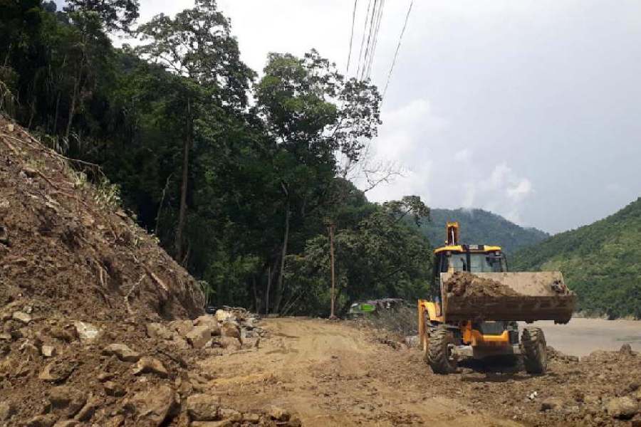
Landslides are frequent in the Himalayan regions of the country. Data suggest that in India, about 0.42 million sqkm or 12.6 per cent of land area, excluding snow-covered regions, is prone to landslide hazards.
In 2024, landlocked Sikkim faced major connectivity issues because of landslides.
Sources said the GSI established a state-of-the-art National Landslide Forecasting Centre (NLFC) in Calcutta to develop and operationalise the regional LEWS.
“The vision of the NLFC is to provide timely information on landslide forecasting to stakeholders and the community for preparedness,” said a source.
At the moment, the NLFC provides live reports on the forecast of landslides in Kalimpong and Darjeeling districts, and the Nilgiri district of Tamil Nadu. Ground testing of the live telecast in 13 other districts in India is also in progress.
The forecast is at present more for a region than a specific area or a hill slope.
“In this context, the collaboration with the Italian institution is an important development,” the source said.
Since 2016, the GSI has been working on LEWS to predict rainfall-induced landslides. Various institutions make attempts to use sensors to forecast landslides for a
specific hillside.
The Indian Institute of Technology (IIT), Mandi, has developed a sensor-based landslide monitoring system that tracks soil movement to make predictions. The system has in some instances provided forecasts three hours in advance.
Installing the system in all landslide-prone areas is a herculean task, said
another source.
“The area where a landslide might occur is huge in the country. The cost of setting up such a site-specific sensor is huge at the moment,” said the source.
Studies are also being conducted to correlate hourly rainfall data and the possibility of landslips in a given area.


