The northern fringes of Calcutta were lashed by heavy rain between Friday morning and Saturday morning as a system on Bengal kept getting stronger as it moved northwest.
The position of the monsoon trough also contributed to the downpour, said Met officials.
Much of Calcutta was spared heavy rain but the conditions were consistently overcast.
The intensity and spread of the rain in south Bengal is likely to dip over the next few days, according to the Met forecast. But heavy rain is expected in north Bengal.
“Southwest monsoon has been active over Bengal. Between Friday morning and Saturday morning, heavy rainfall lashed North 24-Parganas, West Burdwan, Birbhum, Purulia and South 24-Parganas in south Bengal. Light to moderate rainfall occurred at most places over the state,” said a Met official.
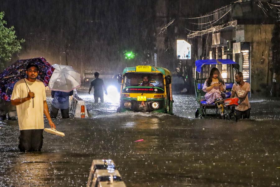
Dum Dum was the wettest place in the state, recording 100mm of rain between 8.30am on Friday and 8.30am on Saturday. Salt Lake (North 24-Parganas) and Diamond Harbour (South 24-Parganas) got around 800mm of rain each.
A Met bulletin on Saturday gave details about the weather systems at play.
- What was a depression over north Jharkhand has intensified into a deep depression. On Saturday morning, it was over southwest Bihar and adjoining northwest Jharkhand, about 50km northeast of Daltonganj (Jharkhand), 60km south-southeast of Dehri (Bihar) and 140km east-southeast of Churk (Uttar Pradesh). It was likely to continue to move west-northwestwards across northwest Jharkhand, southwest Bihar, southeast Uttar Pradesh and east Madhya Pradesh during next 48 hours, the bulletin said.
- The monsoon trough at mean sea level now passes through the centre of a low-pressure over southwest Rajasthan and the neighbourhood... centre of the deep depression over southwest Bihar, Bankura, Canning and then southeastwards to northeast Bay of Bengal.
The deep depression originated as a cyclonic circulation over Gangetic Bengal and adjoining Bangladesh. It kept intensifying, turning into a low-pressure area, depression and then a deep depression.
“Usually, this happens over the sea. But in monsoon, the systems can persist over land as well because of plenty of moisture incursion from the Bay as well as the Arabian Sea,” said H.R. Biswas, head of the weather section at the Regional Meteorological Centre, Calcutta.
But the system is unlikely to intensify further, he said.
“Jharkhand, Bihar, Uttar Pradesh, Chhattisgarh, Madhya Pradesh and Rajasthan are likely to be directly affected by the deep depression. North Bengal is also likely to get heavy rain mainly because of the east-west trough. The monsoon trough’s position will trigger some rain in south Bengal as well,” he said.