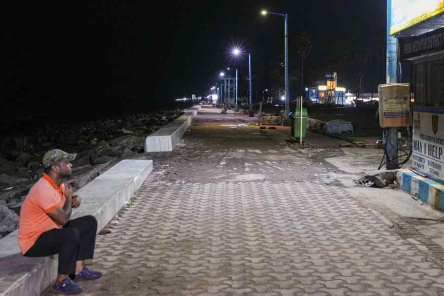
Dana is set to make landfall between Dhamra port and Bhitarkanika in Odisha between Thursday night and Friday morning as a severe cyclonic storm, the Met office said on Wednesday, triggering the closure of Calcutta airport for 15 hours from 6pm on Thursday and the cancellation of hundreds of trains.
During landfall, the storm can unleash winds clocking up to 120kmph and trigger torrential rain in surrounding areas, the Met office warned. Dhamra is 350km south of Calcutta and Bhitarkanika around 400km south of Calcutta.
The Met office has warned of heavy to very heavy rain in Calcutta on Thursday and Friday. The showers will be accompanied by strong gusts of wind clocking up to 80kmph between Thursday night and Friday, the forecast said.
Calcutta airport will remain shut from 6pm on Thursday to 9am on Friday, leading to the cancellation of over 200 flights. Hundreds of trains have been cancelled and residents of highrises have been advised to remove potted plants and other objects that can be blown away by wind from balconies. Embankments are being strengthened and people evacuated from coastal areas.
At least four persons are feared drowned after boats and dinghies loaded with heavy fishing nets capsized in the Ganga because of strong winds in Murshidabad’s Farakka and Samserganj.
Tourists won’t be allowed at seaside destinations such as Digha, Mandarmani and Bakkhali for the next two days. Hoteliers have been asked to cancel all pre-bookings for Thursday and Friday.
In Bengal, East and West Midnapore, the districts bordering Odisha, and South 24-Parganas are likely to bear the maximum brunt of the storm. These districts are expected to get extremely heavy rain (more than 200mm) on Thursday and Friday and winds clocking consistently more than 100kmph in the intervening night.
Bengal’s coastal pockets are likely to be flooded by a storm surge. The winds can flatten homes and poles, disrupting utility services, the Met office has warned.
What had started as a speck near the north Andaman Sea on Sunday intensified into a cyclone on the east-central Bay by early Wednesday. The conducive sea surface temperature and a favourable wind shear ensured it gained strength rapidly as it hurtled towards the east coast.
On Wednesday afternoon, the dark Hooghly skyline looked ominous in Calcutta. People travelling in ferries had to hold their bags lest the strong winds make them lose balance. Several parts in and around Calcutta got a sharp spell of rain on Wednesday afternoon.
The clouds that brought the wind and rain came from the outer band of the cyclone, more than 500km away in the deep sea, said Met officials.
“The cyclonic storm Dana moved northwest with a speed of 12kmph during the past six hours and lay centred at 12.30pm on October 23 over the east-central and adjoining west-central Bay of Bengal, about 460km southeast of Paradip (Odisha), 490km south-southeast of Dhamra (Odisha) and 540km south-southeast of Sagar Island (West Bengal),” said a bulletin issued by the India Meteorological Department on Wednesday evening.
“It is very likely to move northwestward and intensify into a severe cyclonic storm over northwest Bay of Bengal by early morning of October 24 and cross north Odisha and West Bengal coasts between Puri and Sagar Island close to Bhitarkanika and Dhamra (Odisha) during the night of October 24 to the morning of October 25 as a severe cyclonic storm with a wind speed of 100-110kmph gusting 120kmph,” it added.
“A severe cyclone is a large system. The landfall process can take three to four hours. A more specific duration of landfall can be predicted only when it is nearer to the coast,” said H.R. Biswas, head of the weather section at the Regional Meteorological Centre in Alipore.
The intensity of a cyclone is determined by the wind speed it generates. In recent memory, Amphan — which made landfall in the Sunderbans on May 20, 2020 — was the strongest cyclone to have hit the east coast. Amphan had become a super cyclone on the sea and had weakened into a very severe cyclonic storm at the time of landfall, around 100km from Calcutta.
It generated a peak wind speed of around 185kmph during landfall. After landing, the storm swept Calcutta, North 24-Parganas and parts of Nadia. The peak wind speed in Calcutta was 112kmph.
“Amphan was a much more powerful storm than Dana. Dana can be compared to Remal, which also landed as a severe cyclonic storm,” said Biswas.
Remal hit land in the Sunderbans in Bangladesh on May 26, generating a peak wind speed of 135kmph. Post landfall, Calcutta recorded a maximum wind speed of 91kmph and more than 250mm of rain. More than 400 trees in and around Calcutta fell and many areas were left flooded.


