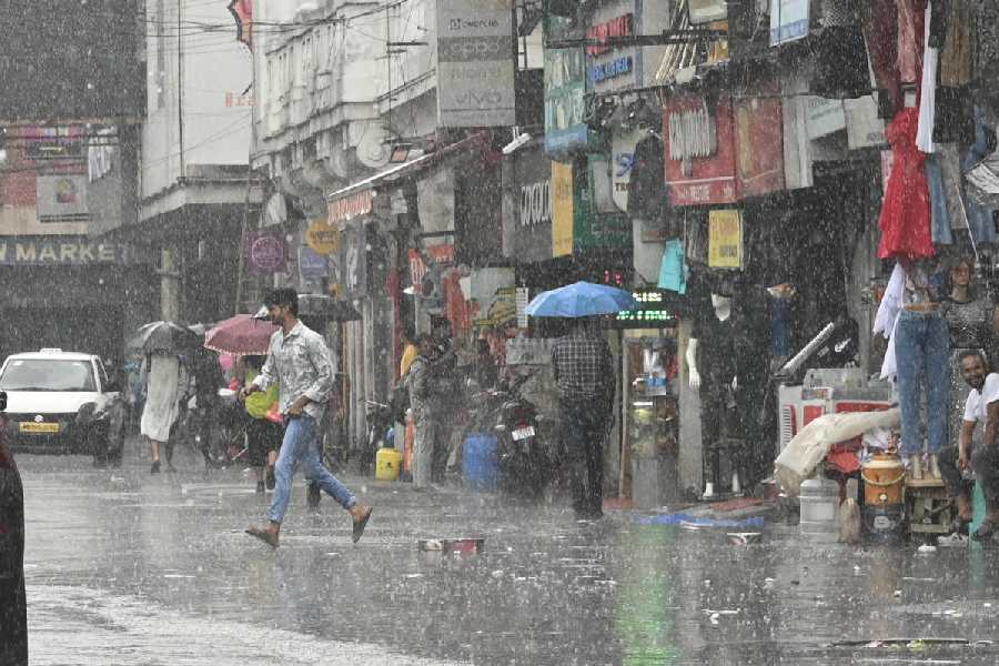
The formation of a cyclonic circulation and the favourable position of the monsoon trough triggered multiple spells of rain in Calcutta and the rest of south Bengal between Tuesday night and Wednesday night.
The Met office has predicted more rain in the next few days.
“A cyclonic circulation lies over Gangetic West Bengal and neighbourhood and extends up to 3.1km above mean sea level. The monsoon trough at mean sea level now
passes through Ganganagar, Hissar, Delhi, Hardoi, Dehri, Purulia, Sagar Island and thence east-southeastwards to northeast Bay of Bengal,” said a Met bulletin issued on Wednesday.
“Light to moderate rainfall activity with isolated heavy to very heavy rainfall is very likely to occur over some districts of West Bengal.”
Sagar Island is around 100km from the heart of Calcutta.
Heavy to very heavy rainfall (7-20cm in 24 hours) is likely in Hooghly, East Burdwan and West Midnapore on Thursday.
Heavy rain (7-10cm in 24 hours) is likely in the remaining districts of south Bengal.
A Met official said heavy rain is likely in Calcutta on Thursday.
On Friday, West Burdwan, Birbhum, Purulia and Murshidabad may get heavy rainfall
Between 5.30pm on Tuesday and 5.30pm on Wednesday, the Met office recorded around 5mm of rain in Alipore. But several other parts saw stronger showers.
The monsoon trough came down closer to Calcutta from north in late July.