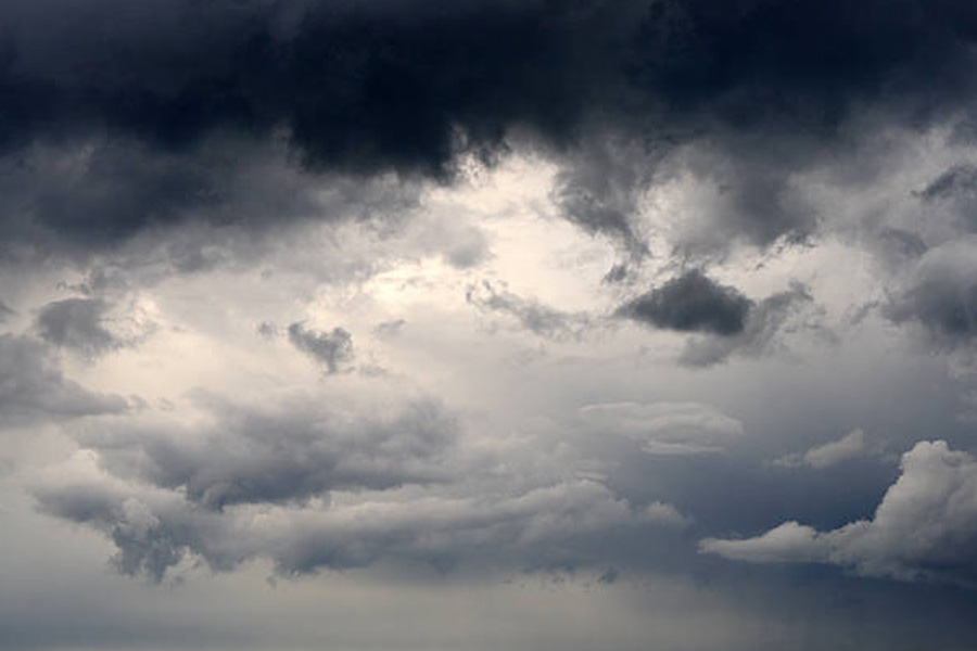
The city spent another almost sunless and cloudy day that was marked by a drizzle in some areas of Calcutta.
The cloud cover pushed the minimum temperature up. But the day felt cold because the sun stayed hidden, which resulted in the maximum temperature going down. The Met office said Tuesday would also remain cloudy and the weather conditions were likely to improve from Wednesday.
On Monday, the breezy conditions also made it cold.
Around 2.35pm on Monday, the Maidan skyline looked so dark that it felt like evening.
The Met office linked the clouds to a Western Disturbance passing from the northwestern parts of India to the Northeast.
A Western Disturbance is an extra-tropical storm that originates in the Mediterranean region and often causes winter rain and snowfall in India.
“A Western Disturbance is passing through eastern India. It is headed towards Bangladesh via Northeast. Under the influence of the system, Jharkhand got clouds and rain on Sunday. The same system has brought similar conditions to Bengal,” said H.R. Biswas, head of the weather section at the Regional Meteorological Centre in Alipore.
A Western Disturbance reaches northwestern India via Iran, Afghanistan and Pakistan. It then keeps moving east through the upper reaches of the country.
The Met office recorded around 0.8mm, of rain in Alipore on Monday. The western districts like Bankura and Murshidabad got more rain than Calcutta did.
“The conditions are likely to remain cloudy on Tuesday as well. Wednesday is likely to see significant improvement in the weather. As the sky clears, the minimum temperature is likely to start sliding again,” said Biswas.
By the weekend, the minimum temperature is tipped to drop to 14 degrees in the city, he said.
On Monday, the minimum temperature in Calcutta was 16.5 degrees Celsius, up from 15.7 degrees the day before. The maximum was 26.4 degrees, a notch below normal.
On November 30, a sunless sky and on-and-off drizzles dragged the day temperature down so much that there was very little difference between the maximum and minimum temperatures.
Bay system
Another system is brewing deep in the Bay of Bengal. But it is unlikely to have much of an impact on Bengal.
“The low-pressure area over southeast Bay of Bengal and adjoining east equatorial Indian Ocean... persists. It is likely to move west-northwestwards and become more marked during the next 24 hours. It is very likely to continue to move west-northwestwards thereafter and reach over southwest Bay of Bengal off Sri Lanka-Tamil Nadu coasts around December 11,” said a Met bulletin.
“It is too far from Bengal and unlikely to gather enough steam to be able to have any impact here,” said a Met official.


