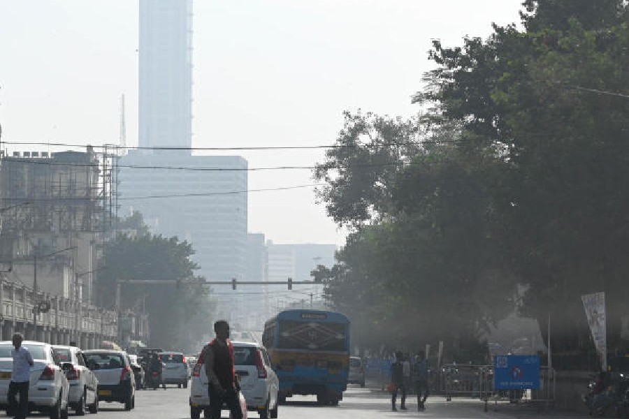
A nearly sunless day and intermittent showers lent a chilly feel to Saturday, despite a significant rise in the minimum temperature.
The weather is expected to improve from Sunday but the morning is likely to see dense fog, the Met forecast said.
The minimum temperature on Saturday was 19.2 degrees Celsius, four notches above normal. The moisture in the air pushed the minimum temperature up. But at 21.1 degrees, the maximum was five notches below normal.
Usually, there is a difference of 10-12 degrees between the two. On Saturday, it was just two.
The low day temperature was the main reason for the chill. The minimum temperature is recorded in the early hours of the day when the city is sleeping. The effect lingers on for a while. But the effect of the maximum temperature — which is recorded in the afternoon, usually when the sun is directly overhead — is felt for most of the day.
The intermittent showers meant a lower-than-usual footfall at the city’s winter hotspots like the Alipore zoo and the Victoria Memorial. The Maidan greens were also not as crowded as they are on a winter weekend.
The rain started on Friday night and came in multiple spells. It was light but persistent. The showers abated from Saturday evening.
The clouds that shielded the sun and triggered the light rain came from an interaction between two weather systems, said a Met official. A depression over the Bay of Bengal and a Western Disturbance moving from west to east.
A depression over westcentral Bay of Bengal was around 430km from Andhra Pradesh and 590km from Odisha on Saturday morning. “The system is likely to move slowly east-northeastwards maintaining its intensity as a depression for next 12 hours and weaken gradually thereafter over the sea,” said a Met bulletin on Saturday morning.
“A Western disturbance was moving from northwestern India to the Northeast. The two systems combined to bring clouds and rain,” said a Met official. The disturbance has moved away from our region,” the official said around 8pm on Saturday.


