Several parts of the city were lashed by a strong spell of rain on Friday evening, hours after the Met office issued a warning of another system brewing over the Bay of Bengal in the cyclone season.
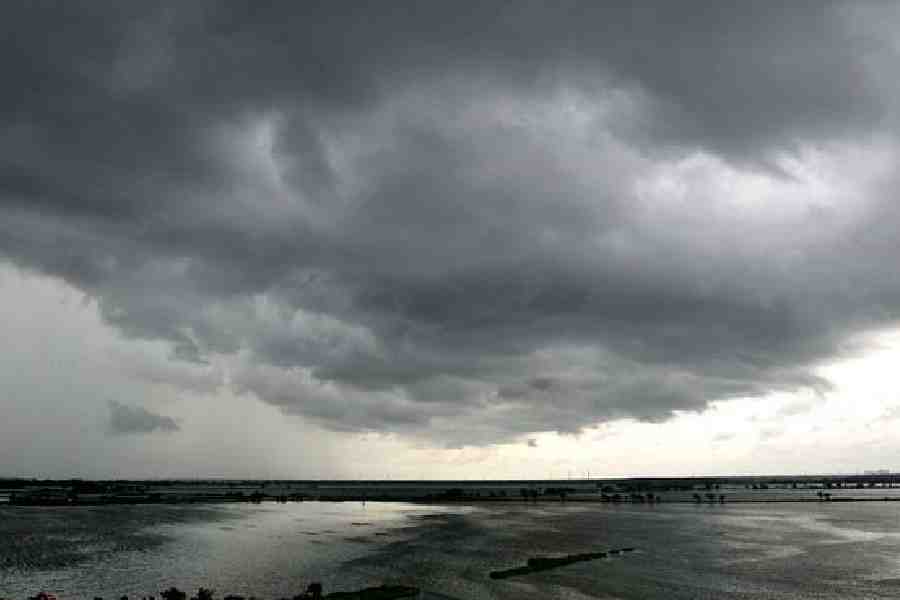
Around 3pm, the sky over Chowringhee looked ominously dark. The showers came around 5.30pm. What started as a drizzle soon intensified into formidable rain that temporarily flooded some pockets of central Calcutta.
The rain came in multiple phases within the next hour. By 6.40pm, there was a pool of water on the road leading to the junior doctors’ protest site at Esplanade.
The Met office attributed the showers to moisture incursion from an anticyclonic system over the Bay of Bengal coast. The humidity in the lower levels of the atmosphere teamed up with local heating to trigger the formation of thunderclouds, said a Met official.
The anticyclonic system, which is a high-pressure zone, is weakening, he said. According to the forecast, rain is not ruled out on Saturday but the intensity is likely to dip. The chances of rain will go down further on Sunday.
The middle of next week is likely to be rainy again. If the Met forecast is anything to go by, the rain is likely to be much more intense.
“An upper air cyclonic circulation is very likely to form over the North Andaman Sea around October 20. Under its influence, a low-pressure area is likely to form over central Bay of Bengal around October 22. Thereafter, it is likely to move northwestwards and intensify further into a depression by October 24,” said a Met bulletin issued on Friday afternoon.
The bulletin predicted “light to moderate rainfall at many places with isolated heavy rainfall” in Bengal on October 23 and 24.
November has ideal sea surface temperature for tropical sea storms to intensify into cyclones. But multiple other factors, the windshear and wind pattern, for example, eventually determine if a system sustains its momentum and turns into a cyclone.
A depression and a deep depression are the two stages of a storm before it turns into a cyclone.
“Once the system takes the shape of a low-pressure, we will be in a better position to predict its likely form and path,” said H.R. Biswas, the head of the weather section of the Regional Meteorological Centre, Alipore.
The Met bulletin, however, has issued a warning for fishermen. “Fishermen are advised not to venture into deep sea area over central and adjoining South Bay of Bengal on October 22 and 23,”it said.