The Jalpaiguri administration has prepared a comprehensive map with detailed information about all state-run health establishments in the district.
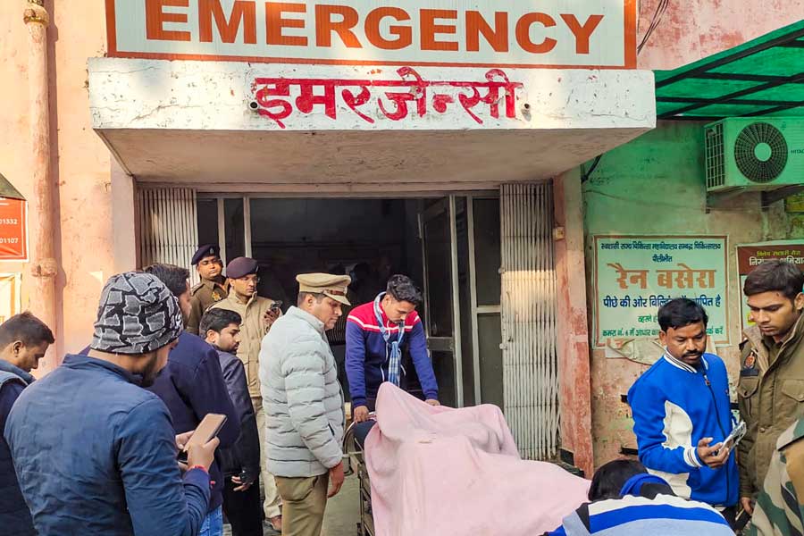
The Jalpaiguri District Health Facility Location Map will have information on all government healthcare centres, ranging from a primary health centre to the district hospital.
District magistrate Moumita Godara Basu said they felt such a map was necessary to help people locate healthcare facilities in emergencies.
“Thousands of tourists visit the district every year and many of them stay in remote locations. Also, people come to Jalpaiguri on business trips. For all of them, this map will be useful to locate the nearest healthcare facility,” Basu said.
She said residents would benefit too as many locals do not have a clear idea about the locations of all health centres and hospitals in the district.
Along with the location of the health centres, the map carries details of the blocks and panchayats, municipalities, rail routes, forest areas and water bodies.
“Also, one can have a clear idea about the facilities available at the health centres that function in different tiers, right from the district hospital to the sub-centres. This would save time for those needing treatment as he or she can directly visit the facility where the service they need is available,” a source said.
The map can be downloaded from the official website of the Jalpaiguri district. A person needs to have an android mobile phone with Internet connectivity to avail the service, the source added.
In due course, the administration intends to put in more information on the map.
“We want to share contact numbers of health workers who work throughout the district. It would provide an option for any person to call up a health worker who is nearby,” the DM said.

