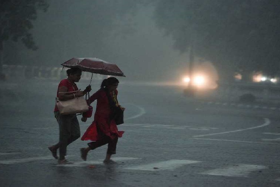
The day temperature dipped as the humidity level increased in Calcutta on Saturday.
Even indoors, people sweated profusely. The conditions were typical of Calcutta summers and those that usually lead to a thunderstorm.
The Met office recorded a maximum temperature of 37.2 degrees in Alipore on Saturday. It was still two notches above normal. It was also the lowest maximum temperature since April 14, when it was 36.9 degrees.
The minimum relative humidity — the moisture content in the air during the driest part of the day — went up to 47 per cent. A couple of days ago, it was around 25 degrees.
While strengthening the chances of thunderstorms, the rise in the moisture content also increased the discomfort index. Around 1pm, the temperature was around 36 degrees. But the RealFeel was 44 degrees.
It means the moisture-laden winds from the Bay are gradually pushing back the hot and dry northwesterly winds, said a Met official.
The Met bulletin on Saturday stuck to its earlier forecast of thunderstorms in south Bengal from Sunday evening.
“Thunderstorms with lightning and gusty wind (30-40 kmph) are likely over Birbhum, Nadia, Murshidabad, East Midnapore, North and South 24-Parganas districts on Sunday,” the bulletin said.
“Hot and humid weather” is likely in Calcutta, along with Nadia, Murshidabad, East Midnapore, Howrah, Hooghly and Purulia,” it added.
Private forecasting agencies have predicted some showers in Calcutta on Sunday. A Met official said localised showers were not ruled out on Sunday but the city was most likely to get thunderstorm activities on Monday and Tuesday.
The official Met forecast for Monday:
- Thunder squall with wind speed reaching 50-60 Kmph likely over Birbhum, East Burdwan, Howrah, Hooghly, Nadia, Murshidabad, and North and South 24-Parganas districts.
- Heavy rain (7-11cm) likely in Murshidabad and Birbhum
- Thunderstorms with lightning and gusty wind (30-40 kmph) are likely over West Burdwan, Murshidabad, Birbhum, East Midnapore, Jhargram, Calcutta and Purulia districts.
- “A cyclonic circulation lies over sub-Himalayan West Bengal and neighbourhood. A trough runs from Meghalaya to Maharashtra across the cyclonic circulation, Jharkhand, Odisha and south Chhattisgarh. The trough is expected to come closer to Gangetic Bengal in the coming days,” said a Met official.


