A speck on the Bay of Bengal is tipped to intensify over the next few days, the Met office said on Tuesday. Whether it turns into a cyclone or not is still not clear.
“A cyclonic circulation lies over southwest Bay of Bengal coast and extends up to 3.1km above mean sea level. Under its influence, a low pressure area is very likely to form over southwest Bay of Bengal by May 22,” said a Met bulletin issued on Tuesday.
“It is very likely to move north eastwards and concentrate into a depression over central parts of Bay of Bengal by the morning of May 24. It would continue to move north eastwards and intensify further thereafter.”
A depression intensifies into a deep depression and a deep depression intensifies into a cyclone.
Somenath Dutta, the deputy director general of the India Meteorological Department, Calcutta, told Metro: “It is still premature to say that the system will turn into a cyclone.”
There are two other weather systems at play, said the Met bulletin.
A cyclonic circulation lies over east Bangladesh and neighbouring areas and an east-west trough runs from Haryana to the cyclonic circulation over east Bangladesh across Uttar Pradesh, Bihar and Gangetic Bengal.
As the synoptic conditions are favourable and the moisture flow from the Bay of Bengal remains strong, thunderstorms with lightning are expected in Bengal on Thursday and Friday.
On Friday, heavy rain is expected in the coastal districts of south Bengal — East Midnapore, North 24-Parganas and South 24-Parganas.
Calcutta is likely to get uniform rain, accompanied by gusts of wind and streaks of lightning, on May 24 and 25. The intensity of the showers is likely to be more on May 25, said a Met official.
“Winds in the outer bands of the depression are likely to reach the land and trigger the showers,” said a Met official.
Fishermen have been asked to return to the coast before May 23, after which the sea is going to be rough.
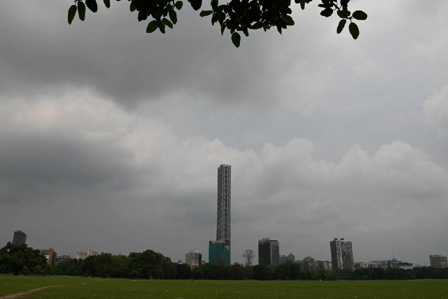
Calcutta received light rain on Monday. The sky was mostly overcast.
Tuesday was dry but the day was nowhere as hot as the past few days have been. The maximum temperature was 33.1 degrees, more than two notches lower than normal.


