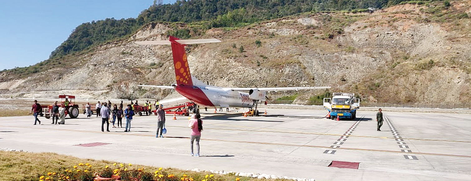
The euphoria of direct air connectivity to Sikkim has been grounded by the prospect of a five-hour car journey from Bagdogra every time a traveller boards the flight.
Picture-perfect Pakyong, inaugurated by Prime Minister Narendra Modi in September and celebrated on social media as “India’s most beautiful airport”, had flights of SpiceJet from Calcutta diverted to Bagdogra on 21 out of 31 days in December because it does not have the requisite navigation equipment for low-visibility situations.
January has not been kind either. SpiceJet, the lone airline licensed to operate on the Calcutta-Pakyong sector, has reported a decline in passenger load from about 88 per cent at the start to between 70 and 75 per cent.
On days when the flight is unable to land at Pakyong because of low visibility, the airline arranges a car drop from Bagdogra, the nearest Indian airport. The road journey to the Sikkim capital can take up to five hours, defeating the objective of buying a ticket to Pakyong.
Some tourists from Calcutta have allegedly faced worse on the return trip. “We reached Pakyong to take the flight back, only to be told that it had been cancelled. We had to pay nearly Rs 4,000 to come to Bagdogra by road and catch a flight back home,” said a traveller.
At 4,600ft, Pakyong is likely to get fog almost throughout the year. So, why wasn’t a proper navigation system part of the plan when the airport was conceived?
A senior official of the Airports Authority of India (AAI) said Pakyong had to be made operational in a hurry, because of which the required equipment could not be installed.
“All this should have been done before making the airport operational,” he said.
The minimum visibility required to land on the Pakyong runway is 5km (5,000m). At Calcutta airport, which now has a Category III-B instrument landing system, the lowest visibility at which an aircraft can land is 50m.
Officials said there was no immediate solution to the problem that Pakyong faces, which means that flights will continue to be diverted whenever visibility drops even a little.
“We need to install navigation equipment that will bring down the minimum required visibility to at least 2.5km (2,500m). But it cannot be done because residents of villages in the vicinity won’t allow us to do so,” the AAI official said on Monday.
In the absence of navigation aids, pilots have to follow visual flight rules (VFR) for landing. In layman’s terms, a pilot must see where the aircraft is going and that is possible only when the weather is clear.
Pakyong airport needs navigation aids like distance-measuring equipment and very high frequency (VHF) omni-directional range.
An official in the Sikkim government blamed the AAI for the villagers’ objection to navigation equipment being installed. “Before the airport was made operational, a hilltop had to be sliced off to enable 78-seater Bombardier Q400 series aircraft to land and take off with full capacity. This was done in a manner that caused landslides, which damaged large tracts of agricultural land. More than 60 households of a nearby village were affected and the state government paid Rs 72 lakh in compensation,” he said.
According to the official, the land required to install instruments and lights was on that same hill just above the runway. “Based on their earlier experience, the villagers are unwilling to allow the airport authorities carry out any work there,” he said.
Just when the airport authorities came out with a possibly feasible plan, the villagers moved court.
“We have formed a commission headed by a judge to make an assessment,” the government official said.


