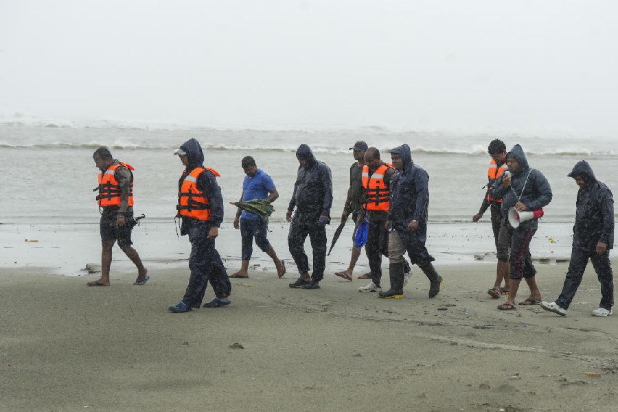
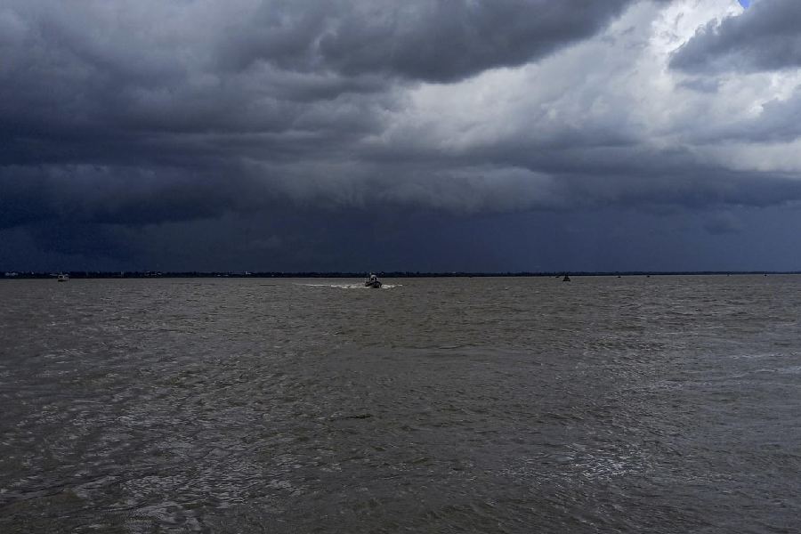
Cyclone 'Remal' has intensified into a severe cyclonic storm and is expected to make landfall between West Bengal's Sagar Island and Bangladesh's Khepupara on Sunday night, the IMD said.
This is the first cyclone in the Bay of Bengal this pre-monsoon season.
Cyclone 'Remal' over the north Bay of Bengal intensified into a severe cyclonic storm and was centred approximately 290 km south-southeast of Khepupara and 270 km south-southeast of Sagar Island, according to an update issued by the India Meteorological Department (IMD) at 8 am on Sunday.
It is likely to intensify further and cross the West Bengal and adjoining Bangladesh coasts between Sagar Island and Khepupara with wind speeds of 110 to 120 kmph, gusting to 135 kmph around midnight, the IMD said.
Other models show that the cyclone may hit the coasts by late evening.
The Met office has warned of extremely heavy rainfall in the coastal districts of West Bengal and north Odisha on Sunday. Parts of northeast India may also experience extremely heavy precipitation on May 27-28.
A storm surge of up to 1.5 metres is expected to inundate low-lying areas of coastal West Bengal and Bangladesh at the time of landfall.
The weather office advised fishermen not to venture into the sea in the north Bay of Bengal until Monday morning.
A red alert was issued for the coastal districts of South and North 24 Parganas in West Bengal for May 26-27, where extremely heavy rain is expected in some areas.
An orange alert is in place for Kolkata, Howrah, Nadia, and Purba Medinipur districts, warning of wind speeds of 80 to 90 kmph, gusting to 100 kmph, and heavy to very heavy rainfall at some places on May 26-27.
In north Odisha, the coastal districts of Balasore, Bhadrak, and Kendrapara will receive heavy rains on May 26-27, while heavy precipitation is likely in Mayurbhanj on May 27.
The IMD has warned of localised flooding and significant damage to vulnerable structures, power and communication lines, kutcha roads, crops, and orchards in South and North 24 Parganas districts of West Bengal.
People in the affected areas have been advised to remain indoors.
The cyclone is likely to impact the Sundarbans mangrove forest, one of the largest in the world, renowned for its diverse fauna, including 260 bird species, the Bengal tiger, and other threatened species such as the estuarine crocodile and the Indian python.
Spread over 9,630 square kilometers along the borders of West Bengal and Bangladesh, Sundarbans is one of the most affected regions due to climate change-induced sea level rise, salinity, sedimentation, and land erosion.
In the past, cyclones like Bulbul and Fani have severely impacted the habitat and highly sensitive ecosystem of the great mangrove forest.
Scientists say cyclonic storms are intensifying rapidly and retaining their potency for longer periods due to warmer sea surface temperatures, a result of oceans absorbing most of the excess heat from greenhouse gas emissions.
The past 30 years have seen the highest sea surface temperatures (SSTs) since records began in 1880.
According to senior IMD scientist D S Pai, warmer sea surface temperatures mean more moisture, which is favourable for the intensification of cyclones.
Madhavan Rajeevan, former secretary of the Ministry of Earth Sciences, said a sea surface temperature of 27 degrees Celsius and above is needed for a low-pressure system to intensify into a cyclone. The sea surface temperature in the Bay of Bengal is around 30 degrees Celsius at present.
"The Bay of Bengal and the Arabian Sea are very warm at present, so a tropical cyclone can easily form," he said.
But tropical cyclones are not only controlled by the ocean; the atmosphere also plays an important role, especially in terms of vertical wind shear — a change in wind speed and/or wind direction with altitude.
"A cyclone will not intensify if the vertical wind shear is very large. It will weaken," Rajeevan said.
Vishwas Chitale, Senior Programme Lead at the Council on Energy, Environment, and Water (CEEW), said that cyclones in the Bay of Bengal have undergone rapid intensification in recent years.
"A CEEW study analysing the occurrence of tropical cyclones over the last five decades found that the districts on India's eastern coast are highly exposed to the impacts of cyclones. However, considering these risks, the government has been strengthening the adaptive capacity of local stakeholders to reduce the degree of loss through initiatives like the National Cyclone Risk Mitigation Project (NCRMP)," he said.
Chitale said their research indicates 100 percent of the population exposed to cyclones now has access to early warning systems. "Building on the success of reducing cyclone-related fatalities, India needs to develop frameworks to climate-proof critical infrastructure." According to a CEEW study, West Bengal has a high adaptive capacity against cyclones due to the cyclone multi-hazard early warning system, which is made available under the National Cyclone Risk Mitigation Project (NCRMP) Phase II. The state's high teledensity ratio allows people to access early warnings via telephone or mobile.
Except for the headline, this story has not been edited by The Telegraph Online staff and has been published from a syndicated feed.


