Bengal would be the “most likely target” of Cyclone Yaas, whose life was kick-started by the formation of a low-pressure area over east-central Bay of Bengal on Saturday.
On the sea, the system will keep intensifying to become a deep depression by Sunday, a cyclone by Monday and a severe cyclonic storm over the subsequent 24 hours, according to the Met office.
“By May 26, when it is tipped to start hitting land, the storm would have qualified as a very severe cyclonic storm,” said GK Das, the director of India Meteorological Department, Calcutta.
The landfall process is expected to take a few hours on May 26, said Met officials.
“As of now, it seems the cyclone will move towards the north Odisha, Bengal and Bangladesh coasts. Bengal is the most likely target,” said Mrutyunjaya Mohapatra, a senior scientist and cyclone forecasting specialist at the IMD, New Delhi.
More specifics — the size of the system, the speed of its movement on the sea and the area where it is supposed to hit land — will emerge in the next couple of days, said Mohapatra.
“But since it is very likely to turn into a very severe cyclonic storm, it is expected to generate wind speeds of 165kmph and more during landfall,” he told this newspaper.
The Met office issued a bulletin on Saturday, warning that “sea conditions will be very rough… over major parts of central and north Bay of Bengal and along the Odisha-Bengal-Bangladesh coastlines from May 24 to 26”.
The bulletin advised fishermen not to venture into the sea from “May 23 evening till further notice”.
The Calcutta Port Trust said “all port vessels will be taken inside docks for shelter” before the onset of the cyclone.
“No ships will be kept in river anchorages or jetties,” said an official.
A cyclone is usually a large system that takes a few hours to make complete landfall. The peripheral winds at the front hit land first, followed by the relatively calm core or the eye of the storm. The eye is followed by the rear winds, as strong as the ones at the head of the spiral.
Amphan was a large system with a diameter of 700km. The storm hit land around 2.30pm and the entire landfall process took over five hours.
The impact of Cyclone Yaas would be felt in the coastal districts of Bengal from May 24, said Das. “The coastal areas of Bengal will see gusts of wind from May 24 evening. The windspeed will reach 70kmph by May 25 evening, and as the storm nears the coast on May 26, the windspeed is likely to surpass 100kmph.”
Calcutta is likely to start feeling the impact of the winds from May 26 evening, said a Met official. The extent of devastation the winds can cause was evident on May 20 last year, when howling winds blowing at well over 100kmph haunted the city when Super Cyclone Amphan was hitting land near Sagar Islands in South 24-Parganas. Dum Dum had recorded a windspeed of 133kmph.
“It is still too early to forecast the windspeed that Calcutta is likely to witness because of the cyclone. But the city is most likely to see heavy rain on May 26,” said Das.
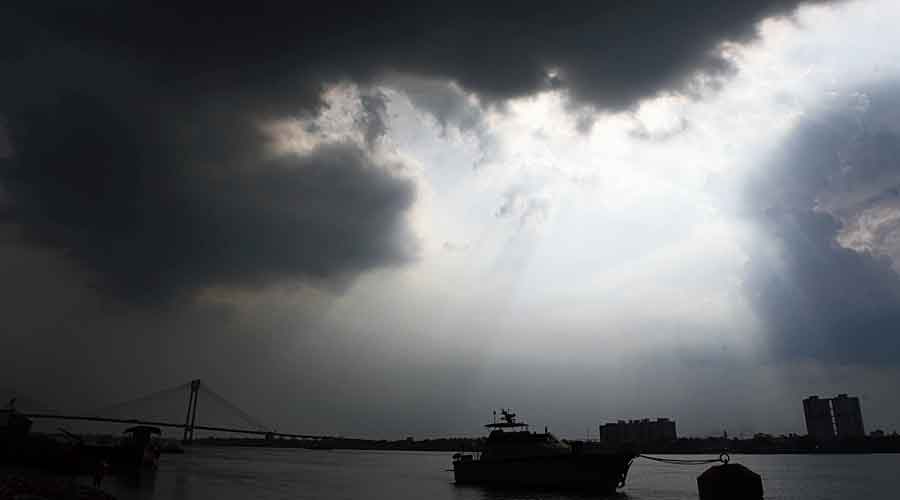
A sharp spell of rain hit parts of the city and Salt Lake early evening on Saturday. The Met office attributed the showers to local cloud formation.
The rain will start in Bengal’s coastal areas from May 25, said the Met forecast. “The rain will start from May 25. The coastal districts will have light to moderate rain since morning. The intensity will increase as the day progresses. On May 26, heavy to very heavy rain is likely in the coastal districts,” said the Met official.