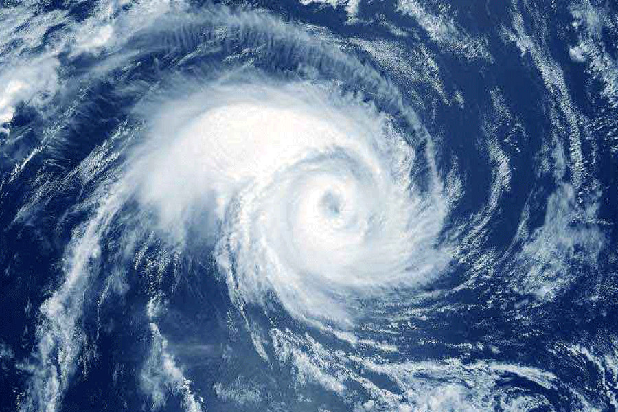
All eyes on the Bay.
On Thursday, the Met office had predicted the formation of a low-pressure area “over southeast Bay of Bengal and adjoining Andaman Sea” around May 23.
It is that time of the year when systems on the Bay are known to intensify
into monstrous cyclones. Many of them have struck the eastern coast of India with vengeance.
Social media has been abuzz with forecasts of another cyclone on the Bay of Bengal even before the Met alert about the low-pressure area. Since the official announcement, the buzz has only grown louder.
Some online portals have already gone as far as predicting the expected time and place of landfall. But Met officials categorically said it was still too early to predict
anything.
“The low-pressure area has not yet taken shape. It is the first step. There are many factors that will determine whether the system will intensify into a cyclone,” said
H.R. Biswas, the head of the weather section at the Regional Meteorological Centre,
Calcutta.
The Met update on Thursday had said: “There is a moderate probability for its further intensification into a depression over southeast Bay of Bengal and adjoining
north Andaman Sea.... The system is likely to intensify further and move north-northeastwards”.
A depression intensifies into a deep depression before turning into a cyclone.
Cyclones feed on heat and moisture. The sea surface temperature is on the warmer side now and that may help intensify the system, weather scientists said.
But there are other factors at play. The southwest monsoon is expected to advance into the southeast Bay on May 19. The monsoon flow is characterised by a high and significant vertical wind shear, which is detrimental to the intensification of a cyclone.
A low vertical wind shear is ideal for the intensification of a cyclone.
It remains to be seen how far the monsoon advances by May 23, when the low-pressure system is expected to take shape.
“A strong vertical wind shear is a feature of the southwest monsoon but only when it has advanced into most of the Bay. This time, it is expected to reach Kerala around May 31. We have to see whether the southwest monsoon currents gain enough steam when the low-pressure area takes shape,” said a Met official.
A strong system on the Bay can also propel the monsoon into Bengal, the official said.
A Bay system gives momentum to the southwest monsoon currents. But the timing of the system is
crucial.
On the other hand, if the system is gone before the monsoon currents are active, then the arrival of the monsoon can get delayed.
“Cyclone Fani (that made landfall on April 26, 2019) delayed the arrival of the monsoon. Cyclone Amphan (that landed on May 20, 2020) accelerated the arrival of the monsoon,” he said.


