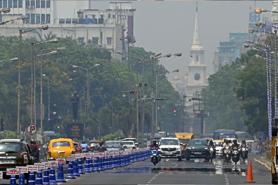
The Met office has at long last spotted some changes in the wind pattern that could be the harbinger of thunderstorms in a city scalded by the sun.
Thunderstorms are likely in Calcutta on May 6 and 7 (Monday and Tuesday), a Met forecast said on Thursday, when the maximum day temperature dropped below 40 degrees for the first time in five days.
The Met office recorded a maximum temperature of 39.2 degrees in Alipore, still four notches above normal.
A heatwave to severe heatwave is still expected in districts like Bankura, Jhargram, West Midnapore and East and West Burdwan on Friday and Saturday.
On paper, a heatwave alert is in place for Calcutta on Friday as well. The maximum temperature is likely to be 40 degrees. From Saturday, “hot and humid” conditions, with a high discomfort index, are likely, according to the forecast.
A difference of a fraction of a degree might be important in Met jargon. But simply put, the only thing that can bring relief from the scorching conditions is a formidable thunderstorm.
The conditions are slowly becoming favourable for thunderstorms, said a Met official.
“The wind pattern has started to change. By Sunday, moist southerly winds from the Bay will have gained a toehold in south Bengal. There is no dearth of heating. A convergence zone is likely to take shape over eastern India,” said H.R. Biswas, head of the weather section at the Regional Meteorological Centre, Calcutta.
“A trough or a cyclonic circulation is likely to take shape in a way that it can play a suitable role in the formation of thunderclouds,” he said.
The main stumbling block for thundershowers in south Bengal, including Calcutta, so far, had been the lack of moisture incursion from the Bay.
Whatever little moisture was present was confined to the layer close to the surface of the earth. In the lower levels of the atmosphere, hot and dry westerly and northwesterly winds were dominant.
Lower levels of the atmosphere means an area of 1km to 1.5km from the surface of the earth.
“When the southerly winds gain steam in that level, it will be an automatic pushback for the hot and dry winds,” said a Met official.
Pockets of South 24-Parganas, like the Sunderbans and Diamond Harbour, have already received some showers, accompanied by gusts of wind and streaks of lightning, over the past two days. As did some parts of East Midnapore.
As the days go by, the thunderstorm activities are likely to be widespread and uniform. The showers and the cold winds will cool the parched earth.
But until then, the conditions are going to hurt, like Thursday.
Dum Dum recorded a maximum of 40 degrees on Thursday. West Midnapore, Bankura and West Burdwan were among the districts where the Celsius touched or breached the 40-degree mark.
Kalaikunda in West Midnapore was the hottest place in the state with a maximum temperature of 44.2 degrees Celsius.