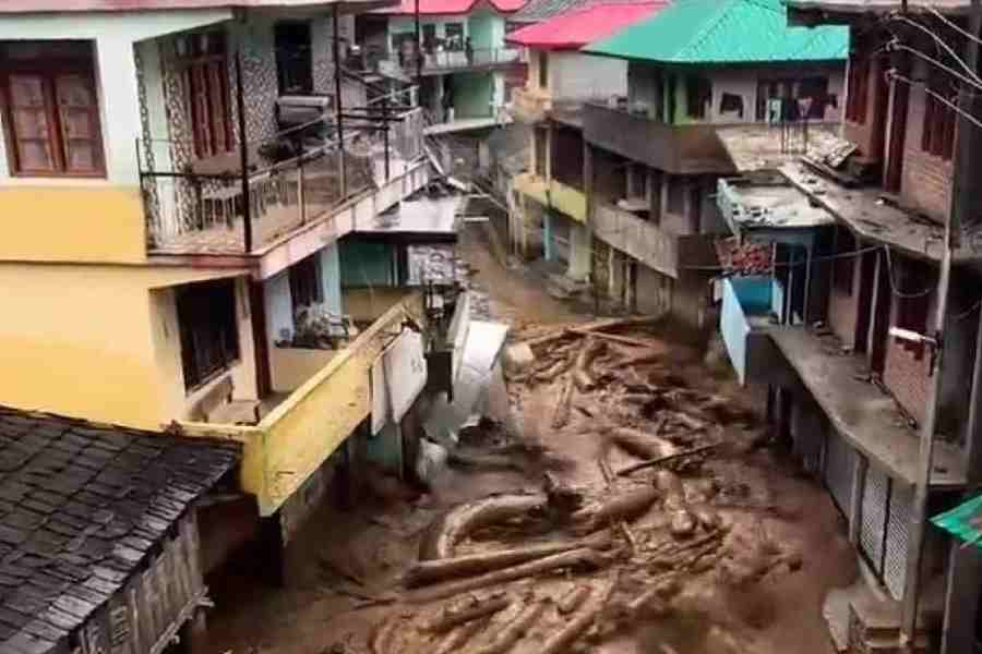
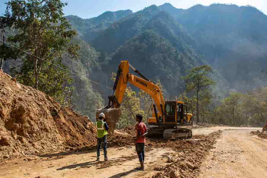
If we want to save the country from a Himalayan disaster and prevent the desertification of the Ganges valley and, yet, progress, the only remedy is to limit construction activities. The devastating floods and landslides in Himachal Pradesh and Uttarakhand and the drowning of large tracts in Delhi are unprecedented. Experts say these are natural outcomes of the climate crisis and mindless infrastructure projects on a young mountain range.
This year’s devastation has been precipitated by intense construction activities like road-widening and dam construction that weakened the hill slopes and triggered major landslides. Crucial road links between Kalka and Shimla, Kullu and Manali, Chandigarh and Manali, Manali and Leh, Dehradun and Haridwar, were disrupted as roads caved in or on account of landslides. A total of 170 routes had to be closed in Uttarakhand alone. Officially, 108 people died in Himachal and 90 in Uttarkahand; meanwhile Joshimath’s woes continue.
In both Himachal and Uttarakhand, the blasting of hills has changed the hydro-flow pattern. Earlier, rainwater used to replenish the aquifers and flowed through hundreds of natural paths. Now, it flows down pucca, often concretised, roads that turn into massive artificial drains with logs and boulders rolling down. This calls for an immediate stop to ‘developmental’ infra projects for at least a year. The physicist, Vikram Soni, who has closely studied the river systems of North India, told a researcher that he repeatedly emphasised the need to ban construction on the flood plains.
But the government was unwilling to consider this view.

According to the Landslide Atlas of India prepared by the National Remote Sensing Centre, Isro, all 12 districts of Himachal are susceptible to landslides. These also bear the brunt of the maximum construction activities. Landslide exposure analysis carried out in the mountainous areas covering 147 districts in 17 states ranked Himachal’s Mandi district at the 16th place, followed by Hamirpur (25), Bilaspur (30), Chamba (32), Solan (37), Kinnaur (46), Kullu (57) Shimla (61), Kangra (62), Una (70), Sirmaur (88) and Lahaul and Spiti (126) in the socio-economic parameter risk exposure map. Scientists at the Wadia Institute of Himalayan Geology have repeatedly warned that 51% of Uttarakhand has crossed the ‘very high susceptibility zone’. Therefore, landslides will increase; and so will flooding. These scientists documented Uttarakhand’s 300-plus landslides in 2023.
Nobody can estimate how much is or will be lost. Innumerable bridges and culverts, resorts, townships and vehicles are now threatened. In Uttarakhand, the railway tunnel to Karnaprayag is a disaster. It has not only weakened the hill structure but also devastated the aquifers that used to feed the various water bodies and natural falls.
Everybody can see now how methodical colonial infrastructure was. Ecologically crafted roads built during the raj endure without damaging the Himalayan ecology. A stark instance of this was also seen recently in Delhi’s India Gate — Central Vista. During rains, Delhiites used to throng the Boat Club lawns. There was no submergence, unlike now.
The warnings being emitted from the Himalayan region are grim. If not heeded, they would turn a subcontinental disaster into an epochal reality.
Shivaji Sarkar is a former senior editor with The Financial Express

