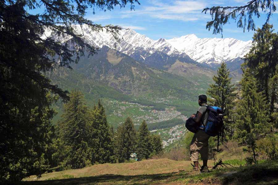
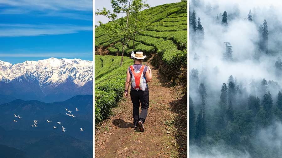
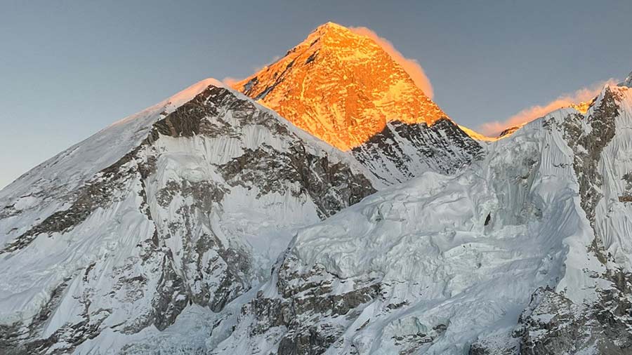
Not to be confused with the more popular Hampta Pass trek, this moderate trek route of five to six days duration in Himachal Pradesh named Hampta Circuit Trek offers magnificent views of the Pir Panjal Range, Dhauladhar Range and Bara Banghal Range. Recommended for beginners in trekking, the route offers pristine landscape and lush green meadows and walking through ice patches. The trek starts from Jagat Sukh (2,000 metres), around 12km from Manali town located on eastern side of the Beas river which is serene and quieter.
An overnight journey from New Delhi by Volvo bus took us to Manali when we were enchanted by the first look at the vibrant Beas river while passing Kullu. A look at the crowded and congested Mall Road of Manali dipped my spirit a bit but no sooner we crossed the Beas river and reached Shuru - the atmosphere dramatically changed. We looked with awe at the wide angle view of Pir Panjal and Dhauladhar ranges looming in the backdrop. Shuru is a serene place located 6km south of Manali.
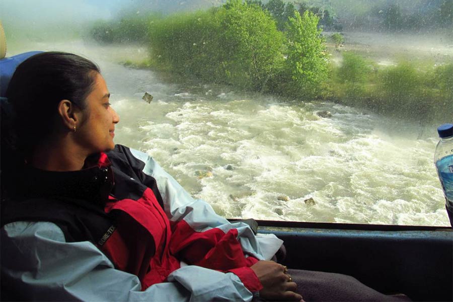
Driving past the Beas river at Kullu in a Volvo bus
Next day morning after a hearty breakfast, a Mahindra camper took us to the Jagat Sukh in about 30 minutes. Already our team of guide and porters had arrived and we were ready to start with packed lunch in our knapsacks.
Walking uphill past apple orchards and taking a lunch break at Bhanara village housing the Takshak Nag temple having exquisite woodwork on its windows and door frame, we reached our first campsite at Bogi thatch (2,400m) alias Buggi. Gazing at a beautiful meadow surrounded by trees with snowcapped mountains on the horizon, I located some makeshift houses at a distance which were summer settlements of the Gujjars (nomads). It was pleasantly cold in the night and we retired to the comfort of sleeping bags inside domed tent after an early dinner.
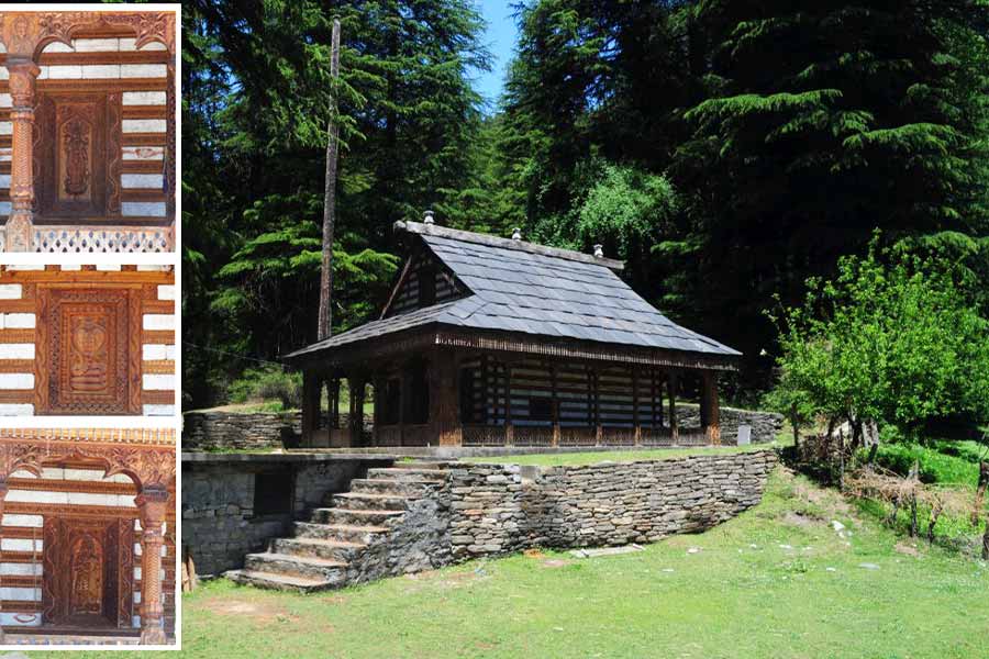
The Takshak Nag temple at Bhanara village and (inset) exquiste woodwork on walls of the temple
The next day, we started leisurely towards our next campsite at Tilgan meadows (2470m) which was just about two-hour walk. You get to see a wide angle view of Pir Panjal Range from here. The peak which was at the top of the range like a crown was Mukar Beh (6089m). Just below it was the Manali Peak (5669m). To the south of Mukar Beh was Ladakhi Peak (5342m). Much lower and the north of Manali Peak was Shiti Dhar (5294m). To the extreme north was Friendship Peak (5289m), followed by Goh Kincha (5153m) and an unnamed peak (5090m). None of Dhauladhar range’s prominent peaks was visible.
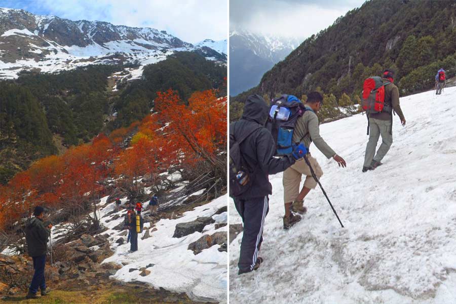
Trekkers experienced the first ice patches with colourful trees around and (right) negotiating ankle-deep snow on way to Jogi Dug
The third day of trekking started with an uphill grass-laden path. Around 10am, we hit our first ice patches. The snow was fresh and soft but not very deep. Walking past trees with colourful leaves we ultimately descended to a frozen steam named Phahi Nullah. Crossing the frozen lake followed by a steep uphill climb and a 45-minute walk in ankle-deep snow was very thrilling. We reached our next campsite at Jogi Dug (3050m) surrounded by dense tree lines after nine hours of trekking at around 5pm.
The fourth day morning was cloudy and it had snowed heavily earlier night. On the way we had to negotiate a steep 70-80 feet downhill path full of ice with a gradient of around 70 degrees. We reached our next destination, Kharimindiyari (3250m) by lunch time. Surrounded by ice patches, the camping site on a patch of green was at the foot of huge snow slopes. Just beside our tent was a small water body which flowed into a small stream. In front of us were the lower sections of Bara Banghal Range, a part of the Dhauladhar Range which ends in the Beas valley. In the night, mercury dropped to 1 degree Celsius.
The weather was bright and sunny in the fifth day of the trek. The steep descent from Kharimindiyari over soft snow took us to grassland adorned with colourful flowers with a backdrop of snow-capped mountains. It looked like a scene straight out of a Yash Chopra film.
After lunch, we crossed the small footbridge over the streaming Jobra Nullah viewing the dam to reach Chikka (3100m) which is the starting point for Hampta Pass Trek. After spending the night here in the tent, on the last day, we walked around two hours to Prini via Pandu Ropa (2900 metres) to board on the vehicle for the return journey.
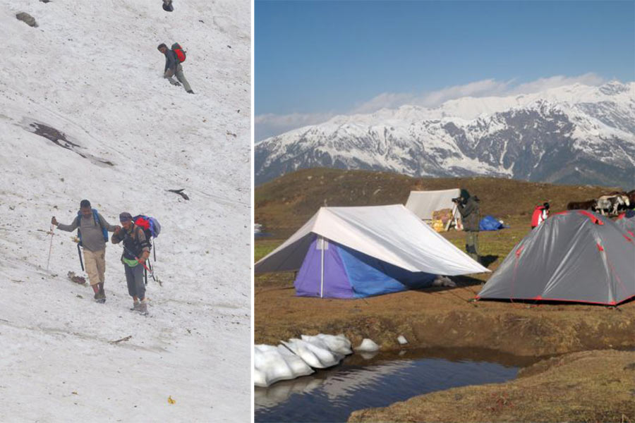
Walking down a steep 70 -80ft downhill snow-filled slope with a gradient of around 70 degree on the fourth day of the trek and (right) surrounded by ice patches and snow slopes, the camping site of Kharimindiyari provides a great view of Bara Banghal Range, a part of the Dhauladhar Range
The Hampta Circuit Trek is ideal for beginners who want to trek in snow without much altitude gain. May and June are ideal times to experience the trek enjoying the snow.
