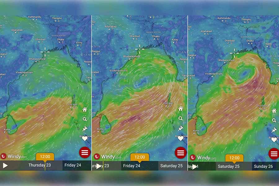
A low-pressure area has been brewing over south-west Bay of Bengal and adjoining west-central Bay of Bengal off north Tamil Nadu-South Andhra Pradesh coasts, as reported by India Meteorological Department (IMD) on May 22. The weather office on Thursday noon notified that it has the potential to turn into a severe cyclonic storm by Sunday (May 26).
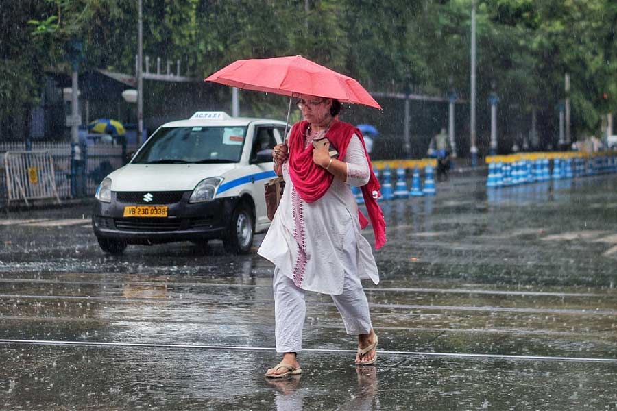
The cyclonic circulation has resulted in thunderstorms with lightning in several parts of West Bengal, including Kolkata, causing light to moderate rainfall. Around 8.30am on Thursday, the low-pressure area moved north-eastwards and lay as a well-marked low pressure area over west central and adjoining south Bay of Bengal.
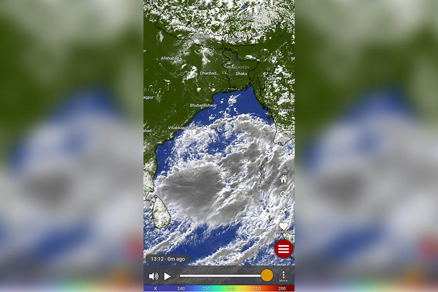
Satellite image sourced from Windy app
Somenath Dutta, head of Meteorological Training Institute at India Meteorological Department (IMD), Kolkata, on Thursday said: “It (the low pressure area) is very likely to continue to move north-eastwards and concentrate into a depression over central parts of Bay of Bengal Friday morning (May 24). Thereafter, it is very likely to continue to move north-eastwards, intensifying further into a cyclonic storm over east central Bay of Bengal by Saturday (May 25) morning. Subsequently, it would move nearly northwards and reach near Bangladesh and adjoining West Bengal coasts by Sunday (May 26) evening as a severe cyclonic storm.”
The expected cyclone, if formed, is to be called Remal. ‘Remal’, in Arabic, means sand and it has been given by Oman, according to the list of cyclone names. However, IMD has not confirmed the name yet.
The forecast for Thursday predicts partly cloudy sky and rain/thundershowers for some areas in Kolkata. On Wednesday, the city received 72.2mm of rainfall with a gusty wind of 40-50kmph.
