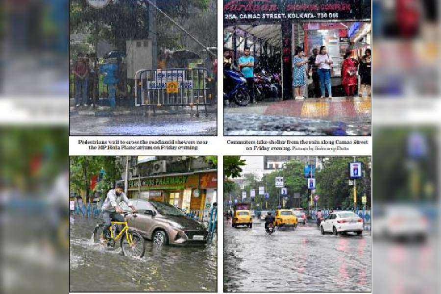
The city got drenched in rain after a fortnight on Friday afternoon, but the Met office clarified that the showers were not the harbingers of the monsoon.
The rain was heavy in some pockets. Ballygunge got over 65mm of rain, according to the figures recorded at the Kolkata Municipal Corporation’s pumping station there. Topsia got 42mm, Dhapa 29mm and Maniktala 26mm of rain.
Ballygunge Phari was waterlogged after the showers, as were some other pockets of the city.
In Met parlance, 60mm of rain in 24 hours qualifies as heavy.
The last time the city got uniform rain was between May 25 and 26.
The showers brought relief to a city reeling under a relentless assault of heat and humidIty. The condition had been scorching for the better part of the current spell and an increase in humidity only aggravated the torment over the past couple of days.
Some people were seen getting wet despite carrying umbrellas. Many people in highrises flocked to their balconies.
The Met said the showers did not signal the onset of the monsoon in Kolkata.
“This is not pre-monsoon rain. The clouds came from Bangladesh. A low-pressure area has taken shape over the northeast Bay of Bengal, near the eastern parts of Bangladesh and Myanmar. Most of the clouds from the system went to Bangladesh and Tripura. But some clouds came towards Nadia, Murshidabad, North 24-Parganas and Kolkata,” said G.K. Das, director, IMD Kolkata.
The same system is expected to propel the monsoon into the Northeast and north Bengal, said Das.
North Bengal is likely to get heavy rain in the next few days, while south Bengal is likely to remain hot and humid, according to the Met forecast.
“The monsoon is expected to arrive in north Bengal in 72 hours. Usually it takes around two days for the monsoon to arrive in south Bengal after its onset in north Bengal,” said a Met official.
“In anticipation of the advancement of the Southwest Monsoon over some parts of North Bengal and Sikkim during the next 72 hours, enhanced rainfall activity is very likely over the districts of North Bengal during June 9 to 15. However, heat-wave conditions and hot and uncomfortable weather is very likely to continue over the districts of South Bengal during June 9 to 13,” said a Met bulletin issued on Friday afternoon.
“Heat-wave conditions are likely to prevail in Purulia, Bankura, Birbhum, Jhargram, West Midnapore and East and West Burdwan districts. Hot and humid weather is likely to prevail in the remaining districts of south Bengal, including Kolkata,” said an official.
The thunderclouds that brought rain on Friday were 8 to 10km from the surface of the earth, said Met officials.
But missing were the powerful gusts of wind associated with summer squalls in Kolkata.
“During squalls, the clouds originate in the west. These clouds came from the Bay. Clouds from the Bay usually do not lead to very strong winds,” said a Met official.
The maximum temperature in Kolkata was 36.4 degrees, a notch above normal, on Friday.
“Saturday is also expected to see some clouds over Kolkata. The Celsius will not see a steep rise. But once the low-pressure area moves up, towards the Northeast, the clouds will be gone and the Celsius will rise in Kolkata again,” said the official.
