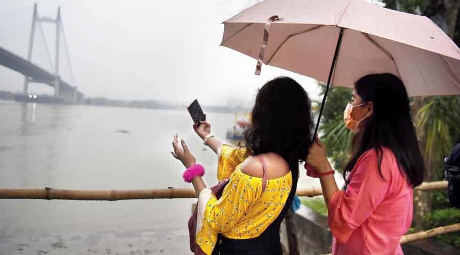
Nine days into December, umbrellas and raincoats are spotted more often than woollens.
Thursday was dark, gloomy and rainy in Kolkata, not much different from Sunday and Monday, when the remnant of Cyclone Jawad was wagging its tail along the east coast.
According to a ‘climatological table’ drawn up by the Met office with data collected over three past decades, the ‘mean’ minimum temperature for December is 15.2 degrees in Kolkata.
This month, the Celsius has yet to dip below 17 degrees. On most days, the minimum temperature has hovered above 19 degrees.
The ‘mean’ total rainfall for December is 3.2mm. The city has already received over 75mm of rain this month because of the cyclone.
Environmentalists have linked the increase in extreme weather events like droughts and cyclones and the frequent aberrations from normal to climate change.
“Deviations in one year cannot be linked to climate change. But climate change is a reality. Also real are its effects, as seen in the vagaries of weather. The total December rain that happened in the past two decades was equalled by the rain on one December day,” said Sanjib Bandyopadhyay, the deputy-director general, India Meteorological Department, Kolkata.
He was referring to December 6, when the city received over 70mm of rain. Only December 11, 1981, received more, according to the Met archives.
On that day, another tropical cyclone had triggered 133mm of rain in Kolkata, according to the Met records.
On Thursday, the sky was foggy to start with. The clouds took over as the day progressed. Just before noon, the sun came out but only for a few minutes. After Cyclone Jawad faded away, the weather was to have cleared from Tuesday, paving the way for a gradual dip in temperature, according to the forecast.
On Thursday, the weather office said a ‘convergence’ of two sets of winds had caused a change in conditions.
“Cold winds from northwestern India and moist winds from the sea are converging over coastal Bengal. This convergence is leading to the formation of clouds,” said Bandyopadhyay of IMD, Kolkata.
There is a trough from Sri Lanka to west-central Bay of Bengal off Andhra Pradesh coast. The trough is generating moist winds. “On the other hand, cold winds have also started arriving. The convergence line of the two sets of winds is along coastal Bengal,” an official said.
The weather is tipped to be clearer on Friday and the bite of the northwesterly winds is likely to be felt in Kolkata in another 48 hours.
By next week, the Celsius is likely to be around 15 degrees in the city, the Met office said.
Several areas in and around Kolkata started getting rain from Thursday afternoon. The showers were light in Kolkata. Some areas in New Town and Salt Lake recorded sharper spells.
Around 3pm, the visibility had dropped so much in Chittaranjan Avenue in central Kolkata that cars were plying with lights on.
