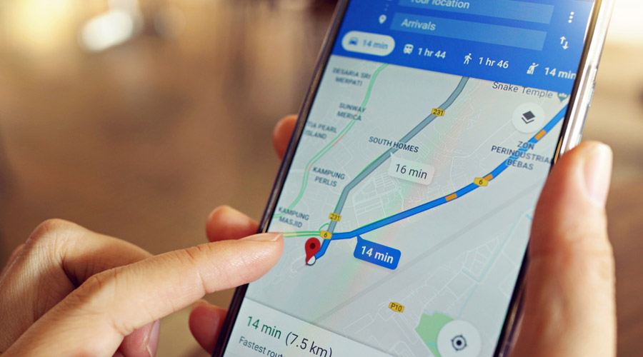
The city police have tied up with a software firm to provide real-time updates about the city’s traffic on Google Maps.
So long there was no mechanism by which Google would upload data collated from the police on its map for motorists to be aware of sudden developments on any road, officers at Lalbazar said.
Now, the police will provide the information to Lepton Software, an associate of Google, that will update it on Google Maps within five to seven minutes.
“This will ensure more seamless sharing of information. The new mechanism of sharing and instant uploading will help generate more data for road users and guide them to either take or avoid certain thoroughfares,” Arijit Sinha, deputy commissioner of police, traffic, said.
“The company officials have said they would start uploading real-time data within the next few days.”
With processions and rallies taking up Kolkata’s road space at regular intervals, the police would usually take to its Twitter handle (twitter.com/KPTrafficDept) and Facebook page (facebook. com/KolkataTrafficPolice/) to post about the day’s developments.
But motorists often complain that this information does not get reflected on Google Maps.
“Vehicles develop snags frequently on the Parama flyover causing congestion. Google Maps would usually never show that,” said Nilesh Ghosh, a software developer who drives down to Sector V from Behala regularly.
“Now that we have a tie-up, there will be a direct feed of data from the police and it will be of great help. While uploading a piece of information, Google Maps will provide alternative routes to motorists,” said Vijay Kumar Dhatwalia, head of data products at Lepton Software.
“Our aim is to inform users at least 4-5km before the congestion spot.”
