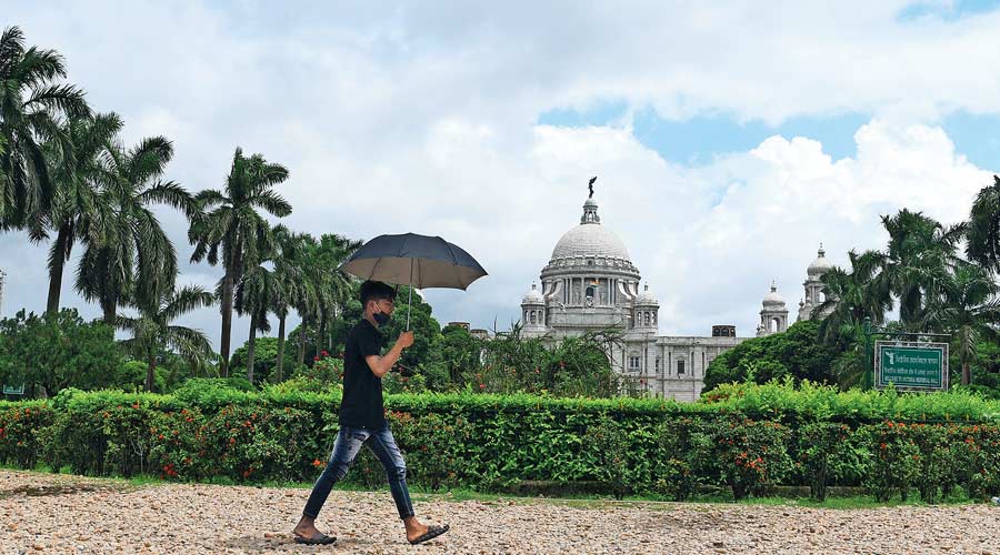
The city has had around 20mm of rain in the past two days. The sky has kept shifting between being sunny and cloudy. There have been multiple spells of showers but each has barely lasted a few minutes.
The Met office said the monsoon was still weak in south Bengal. The conditions are likely to be similar for the next four to five days.
A Met official attributed the short and frequent spells to the small and scattered monsoon clouds. Weak but persistent monsoon currents are leading to many small clouds taking shape, some of them over Bangladesh. These clouds are triggering short spells of rain.
In comparison, the clouds formed during the pre-monsoon months of April and May are usually much bigger in size, said a Met official. But then, the clouds were not as frequent as they are now.
There was another stark difference between the clouds formed in May and July.
“In May, the clouds usually form over Jharkhand and travel towards the coast. On the way, they keep getting stronger. That is why the thundershowers are accompanied by strong gusts of wind and lighting,” said G.K. Das, director of IMD, Calcutta. “But in July, the clouds move from Kolkata towards the west.”
In the pre-monsoon months, large thunderclouds often trigger strong gusts of wind and heavy rain. The maximum temperature during the peak summer months is also more than that in July and a combination of sufficient heating and moisture incursion trigger thunderclouds.
“Some of the clouds are around 100m in length. In comparison, some of the clouds hovering overhead now are around 2km long,” said Das.
A system over the Bay of Bengal, near the Bengal coastline, will provide the much-needed impetus to the southeasterly winds causing widespread and uniform rain, said a Met official.
“There is a low-pressure area over south Odisha, far south of Kolkata. The monsoon trough also passes through the system to meet the Bay. As a result, there is very little impact in Kolkata,” said Das.
The monsoon deficit in Kolkata is close to 50 per cent. The city has received around 220mm of rain, against its quota of 430mm, according to the Met office.
“The formation of any new system closer to the Bengal coast is unlikely over the next week. In Kolkata, the weather is likely to stay like it has been for the past few days,” said a Met official.
The maximum temperature is likely to be around 32 degrees. When the conditions are not cloudy and breezy, the discomfort index is likely to be on the higher side, he said.