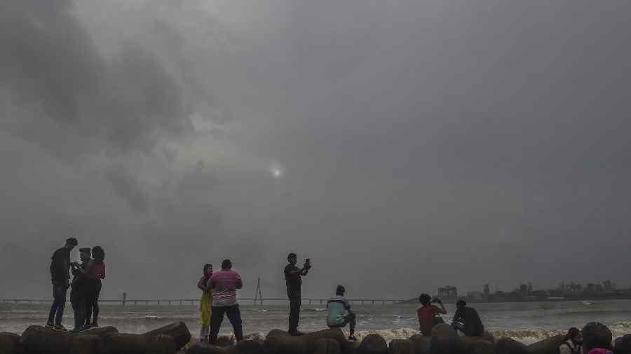
The city got persistent rain on Saturday in several short spells. None of the spells lasted beyond a few minutes.
But the frequency, intensity and spread of the showers were more than what the city had seen over the past few days.
Till 5.30pm, the Met office recorded around 10mm of rain in Alipore. Met officials attributed the increase in the volume of rain to the movement of a low-pressure area over the Bay of Bengal. But the conditions will not last beyond Monday, they said.
“The system had been close to the south Odisha coastline, far south of Bengal to have any impact. On Saturday, the system moved up. Now, it is on the northwest Bay, adjoining the northern Odisha and Bengal coastlines,” said G.K. Das, director, IMD, Calcutta.
The monsoon trough extends from Rajasthan to the Bay of Bengal via the low-pressure area, he said. There is a slight increase in the flow of southeasterly winds because of the system coming closer to the Bengal coast.
That is the reason behind the increased frequency of showers. Das said the coastal areas of south Bengal — North and South 24-Parganas, Calcutta and East Midnapore — will see “increased rainfall activity” over the next 48 hours. “But heavy rain is unlikely. The southwest sector of the system has more rain-bearing clouds. The sector is facing Odisha,” he said. The system is likely to move towards the land in Chhattisgarh around Monday. The frequency of showers is expected to go down in Calcutta and other coastal areas after that.
