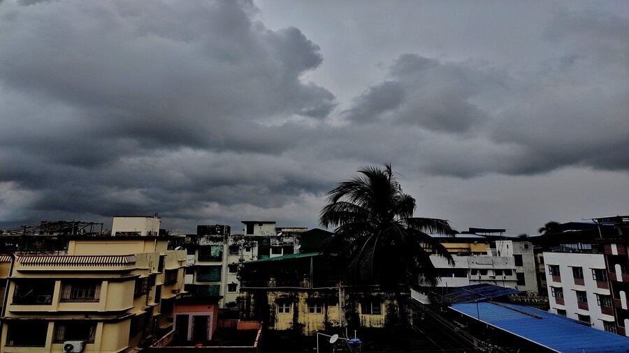
The trough of low pressure that was passing over the foothills of the Himalayas, triggering incessant rain in the districts of north Bengal, has come down, said the Met office.
“The trough now passes over Digha in Purba Medinipur, around 190km from the heart of Kolkata. As a result of moisture incursion towards the trough, there is cloud formation over the two Medinipurs, Bankura and Bardhaman,” said a Met official.
The partially cloudy condition in Kolkata for the past two days was also attributed to the trough.
He said “light to moderate” rain in Kolkata and its surrounding areas is expected over the next 48 hours. Since a meek arrival on June 18, the monsoon has so far been sedate in Kolkata, mainly because of the absence of the formation of a conducive weather system over the Bay of Bengal.
That is set to change but whether it will bring substantial rain to Kolkata will depend on where the system takes shape.
“A cyclonic circulation or a low-pressure area is likely to form over the Bay of Bengal around July 4. If the system takes shape over north and northeast Bay of Bengal, a fair share of rain will come Kolkata’s way. If the system forms over northwest Bay of Bengal, the bulk of the rainfall is expected to happen in Odisha and adjoining districts in Bengal,” said G.K. Das, director, India Meteorological Department, Kolkata.
Any system over the Bay adds strength to the monsoon currents over West Bengal. During the past couple of years, similar systems propelled monsoon into south Bengal. The arrivals were marked by widespread rain.
The trough of low pressure, that spans from the west to east of the country during monsoon, keeps oscillating. When it is over the foothills of the Himalayas, north Bengal and the Northeast get rain. When it descends to the northern Bay of Bengal, coastal Bengal receives rain.
