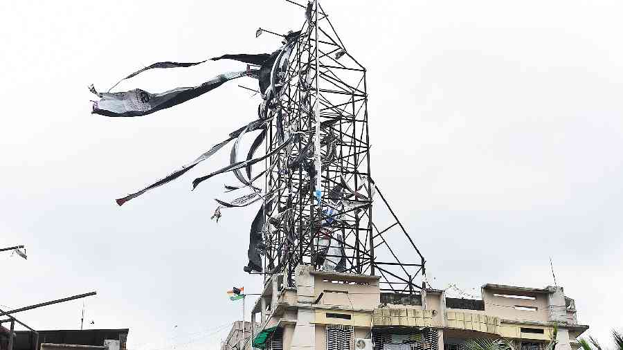
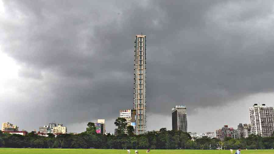
A deep depression moved into West Bengal from the Bay of Bengal on Friday evening, giving Kolkata rain and powerful gusts of wind.
The Met office recorded around 20mm of rain in Alipore over 12 hours till 8.30pm. The rain picked up intensity as the night progressed and was tipped to continue, said Met officials.
The Met office also recorded a maximum windspeed of 59kmph in Alipore around 6pm.
“The system crossed West Bengal and north Odisha coasts as a deep depression between Balasore (in Odisha) and the Sagar islands (in South 24-Parganas, Bengal), close to Digha (in Purba Medinipur, West Bengal) between 7pm and 8pm,” said Sanjib Bandyopadhyay, deputy director-general of the Indian Meteorological Department, Kolkata.
The forecast said the Kolkata sky would remain generally cloudy on Saturday, with one or two spells of rain.
“The weather should improve and the sun should come out later in the day,” said G.K. Das, director of IMD Kolkata.
A Met bulletin on Friday night said the system “would continue to move west-northwestwards across Bengal, north Odisha and Jharkhand towards north Chhattisgarh during next 24 hours and weaken gradually”.
The system, with a diameter of approximately 300km, was around 50km from the Haldia coast at 5.30pm, said a Met official.
It kept moving northwestwards at a speed of 14kmph, said Met officials.
In Kolkata, the sky was cloudy since morning and the rain started before noon.
What started as a drizzle gradually intensified into moderate rain in spells. As the evening progressed, the winds started making an impact.
At 9pm, Kolkata was still being lashed by a sharp spell of rain.
From Shyambazar in north Kolkata to Gariahat in the south, pedestrians cramped under any shelter they got. The impact of the system was more pronounced in South 24-Parganas and Purba Medinipur districts.
The Sagar islands got 70mm of rain and Haldia over 50mm of rain from 8.30am till 5.30pm. The consistent rain dragged the mercury down.
In Kolkata, the maximum and minimum temperatures were 30.6 and 26.6 degrees Celsius, respectively.
On Thursday, the maximum temperature was 35.3 degrees and the minimum 29mm.
The deep depression, the stage before a cyclone, is the strongest system to have taken shape over the Bay of Bengal this monsoon.
A low-pressure area that had formed over the Bay of Bengal on August 8 had intensified into a depression. But it was positioned close to the south Odisha-north Andhra coast.
It entered land through south Odisha and kept moving towards Chhattisgarh. Multiple systems this monsoon have followed a similar trajectory, leading to a rainfall deficit in south Bengal and Kolkata.
The city got around 125mm of rain from August 1 to 18.
The average for the same period is around 240mm, based on the figures of the past 30 years.
The cumulative rainfall Kolkata received so far this year is around 515m, compared to the average of around 900mm.

