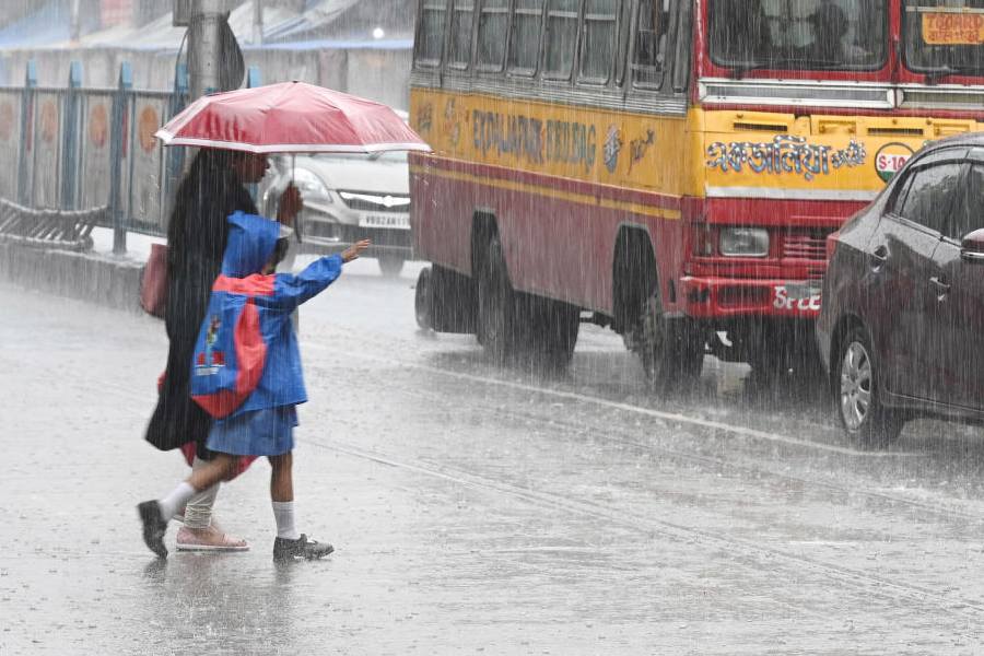
The city received a sharp spell of rain early on Monday.
The sun came out briefly after the showers but the colour of the sky started changing in the afternoon. By 1.30pm, the sky was dark again. Another spell followed and the conditions remained overcast for the rest of the day.
More rain is in store for the city on Tuesday, but the intensity is likely to be lower.
The Met office recorded around 35mm of rain in Alipore, which serves as the official logbook for Calcutta.
Many children were caught in the showers twice on Monday, first while going to school and then on their way back.
A Met official attributed the showers to a cyclonic circulation over northwest Bay of Bengal.
The circulation has dragged the monsoon trough down from the foothills of the Himalayas. The eastern end of the trough now passes through Patna, Bankura and Digha into the Bay of Bengal, according to a Met update.
“There is a lot of moisture incursion from the Bay. Coupled with enough heat, the humidity is creating thunderclouds,” said a Met official.
The city has been witnessing a pattern of rainfall since last week. A hot and sultry day is being followed by a day of sharp spells of rain.
“There is enough moisture from the Bay. The dry days in between are providing enough heating,” said the official.
The cyclonic circulation is tipped to intensify into a low-pressure area by Tuesday. The system is likely to take shape over northwest and adjoining west-central Bay, according to the Met projection.
“Calcutta has got more rain in the run-up to the low-pressure area than it is expected to get when the system takes shape. It is moving away from the Bengal-Odisha coastline towards the Odisha-Andhra coastline,” said G.K. Das, director, IMD, Calcutta.
“The city is likely to get rain on Tuesday and Wednesday as well. But the intensity of the showers is likely to be lower than that of the past few spells,” he added.
