Cyclone Jawad started losing steam from Saturday morning, when it was tipped to intensify, and turned into a deep depression by the evening, the Met office said.
The system is unlikely to enter land and is expected to fizzle out in the sea itself, according to the forecast.
“It is expected to be a depression by Sunday morning and reach near the Puri coast in the afternoon. By Sunday night, it is likely to come near the East Midnapore coast of Bengal. But by that time, it is unlikely to be anything more than a low-pressure area,” said a Met official.
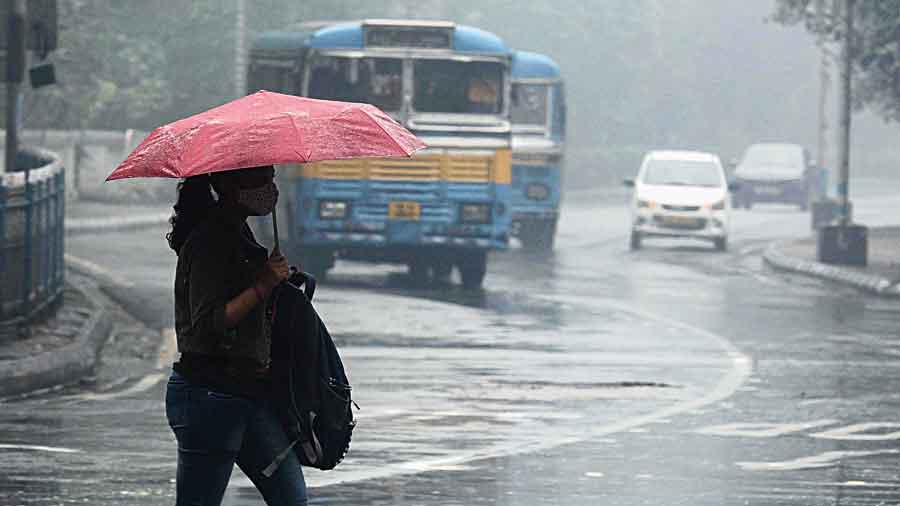
Kolkata is still likely to get heavy rain on Sunday. Winds, if any, are unlikely to clock over 30kmph. The city sky was cloudy since Saturday morning and a persistent drizzle took up most of the day.
Multiple factors led to the scaling down of the storm since Saturday morning.
The most significant among them was the difference in the sea surface temperature between one area in the bay and another.
“Warm sea surface conditions and moist air are fuel for a cyclone. The sea surface temperature was on the higher side on the southeast and west-central Bay of Bengal. As the system moved closer to the coast, the sea surface temperature became much lower,” said G.K. Das, director of the India Meteorological Department, Kolkata.
Kolkattans might not feel them but the cold and dry winds from the northern
parts of India, in the upper reaches of the atmosphere, also dealt a body blow to the cyclone, said Das. “As a result, the system was almost dismembered on Saturday. It was no longer a single unit.”
Twenty-four hours ago, the IMD had predicted that the Jawad would intensify into a severe cyclonic storm on the sea between Saturday morning and evening.
A Met bulletin on Saturday evening said the deep depression was over west-central Bay of Bengal at 5.30am, 330km from Puri. “It is likely to move north-northeast wards and weaken further into a depression by tomorrow morning. It is likely to reach near Puri around tomorrow noon,” the bulletin said.
High tide warning
Kolkata Port Trust on Saturday said there was a possibility that the water level in the Hooghly would rise above six metres early on Monday if heavy rain overnight coincided with high tide. “Around 2.25am on Monday, there will be a high tide,” said an official.
