Cyclone Hamoon gained monstrous ferocity on the Bay of Bengal on Tuesday but Kolkata was spared the brunt as it kept moving away from the Bengal coast.
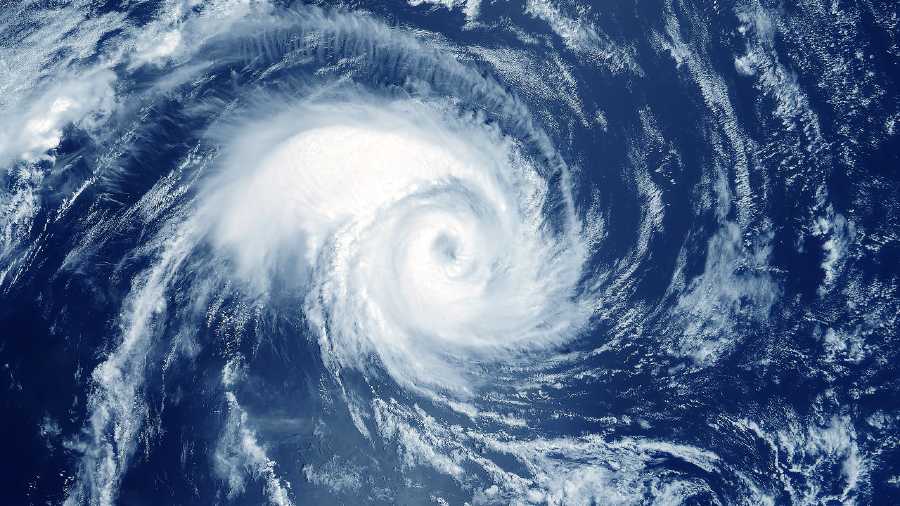
By 8.30am on Tuesday, Hamoon had intensified into a “very severe cyclonic storm”, unleashing winds that clocked over 120kmph. It was over the northwest Bay of Bengal, moving northeast at 23kmph towards the Bangladesh coast, said a Met bulletin.
The Kolkata sky was partially cloudy. Intermittent showers were reported from several parts of the city on Dashami. But the conditions were not as consistently overcast as they were a day ago. If anything, the sun made brief but multiple appearances.
The rain was much sharper on Navami and the day was breezy.
In comparison, Dashami was drier. Till 5.30pm, the Met office had recorded 7mm of rain in Alipore, which serves as the official logbook for Kolkata. Also missing were the frequent gusts.
The sky is likely to be partially cloudy on Wednesday as well. A spell or two of rain is not ruled out, the Met office has said. The weather should improve from Thursday.
In Met parlance, a very severe cyclonic storm is the third-most potent form of a cyclone, after supercyclone and an extremely severe cyclonic storm. A very severe cyclonic storm generates windspeeds between 118kmph and 166kmph.
An extremely severe cyclonic storm is associated with windspeeds of 167kmph to 221kmph. A supercyclone generates winds that clock more than 221kmph.
A Met official said Hamoon — a name given by Iran — gained strength very quickly.
“The storm witnessed rapid intensification on the Bay. Around 5.30pm on Monday, it was a cyclone. By 2.30am on Tuesday, it had intensified into a severe cyclone and by 8.30pm on Tuesday, it was a very severe cyclonic storm. The fairly long journey on the sea has helped in its intensification,” said G.K. Das, director, India Meteorological Department, Kolkata.
The journey on sea can be a two-edged sword, said a weather scientist.
“It can give enough time to help a storm gain monstrous power. A lengthy journey can also deplete its power if the sea surface temperature is not up to the mark or there is strong wind shear. A storm will lose steam if it peaks much before nearing land,” he said.
On Tuesday morning, Hamoon was 270km southeast of Digha, 230km south-southwest of Khepupara (Bangladesh) and 350km southwest of Chittagong (Bangladesh). It was moving further away from the Bengal coast and towards eastern Bangladesh, said a Met official.
The storm is likely to lose steam as it moves towards land. “It is very likely to maintain its intensity of a very severe cyclonic storm for a few hours. Thereafter, it is likely to weaken gradually while moving northeastwards and cross Bangladesh coast between Khepupara and Chittagong in the evening of 25th October as a cyclonic storm with wind speed of 65 to 75kmph gusting to 85kmph,” the bulletin said.
Bracing for yet another cyclone, Bangladesh has shifted 1.5 million people from a dozen coastal districts.