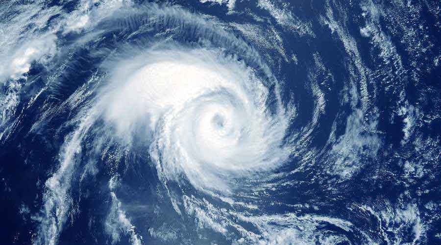
The system tipped to become a cyclone over the Bay of Bengal on Sunday is likely to change direction after coming near the coast.
Till Tuesday evening, cyclone Asani is expected to move in a northwesterly direction and come near the coastline between northern Andhra Pradesh and southern Odisha. But from then, instead of entering land, the storm is expected to take a northeastward turn — recurve, in Met parlance — and keep moving along the Odisha coast.
There is a strong possibility that the storm will lose intensity while moving along the coast, thanks to the dry westerly winds that are tipped to enter the system. It may then fizzle out on the sea itself before entering land.
A tall wind shear could also prove detrimental to Cyclone Asani, said Met officials.
A projected path of the storm, provided by the Met office on the basis of satellite imagery and other statistical models, shows the storm intensifying into a severe cyclonic storm but then gradually weakening to a cyclonic storm first and then into a deep depression after the recurve.
But even then, there is a heavy rain alert for Kolkata and other coastal areas of Bengal from May 11 to 13, according to a Met bulletin on Saturday. Light to moderate rain, along with thunderstorms, is likely from a day earlier.
“A cyclone has three major impacts — storm surge, heavy rain and gusty winds. As of now, heavy rain is the most likely impact in Kolkata and adjoining areas. Between May 11 and 13, at least one spell of heavy rain and multiple thunderstorms are likely in the city," said a Met official.
The system had developed into a depression, said a Met bulletin on Saturday night.
“The depression... moved northwestwards with a speed of 20kmph, concentrated into a deep depression and lay centred at 5.30pm over southeast Bay of Bengal... 1140 km southeast of Visakhapatnam (Andhra Pradesh) and 1180 km south-southeast of Puri (Odisha).
“It is very likely to move northwestwards and intensify into a cyclonic storm over southeast Bay of Bengal in the morning of May 8 and into a severe cyclonic storm over east central Bay of Bengal by evening on May 8,” the bulletin said.
“It is very likely to continue to move northwestwards till May 10 evening and reach westcentral and adjoining northwest Bay of Bengal off North Andhra Pradesh and Odisha coasts. Thereafter, it is very likely to recurve north-northeastwards and move towards northwest Bay of Bengal off Odisha coast,” the bulletin added.
The storm is unlikely to come near the Bengal coast before May 12, said Met officials.
“There is a strong possibility that after the recurve, the storm keeps moving northeast off the Odisha and the Bengal coasts towards Bangladesh. In that case, the more time it spends on the sea, the weaker it will become. Its fate might then be similar to Cyclone Jawad. But the projected track, before and after the recurve, will be clearer after the system develops into a cyclone,” said GK Das, director, IMD, Kolkata.
In December 2021, Jawad had also taken a northeastward recurve and fizzled out as it kept moving along the coastline. Then, the damage had been done mainly by the difference in the sea surface temperatures mid-sea and near the coast.
“The system (Asani) is likely to stay strong till May 10 evening. From then, it is likely to lose steam,” said Das.
Fishermen have been asked not to venture out into sea from May 10.
Coast Guard vessels have started sending warnings to the alert fishermen already in the sea. The alerts are also being relayed to the ships off the Bengal and Odisha coasts.
