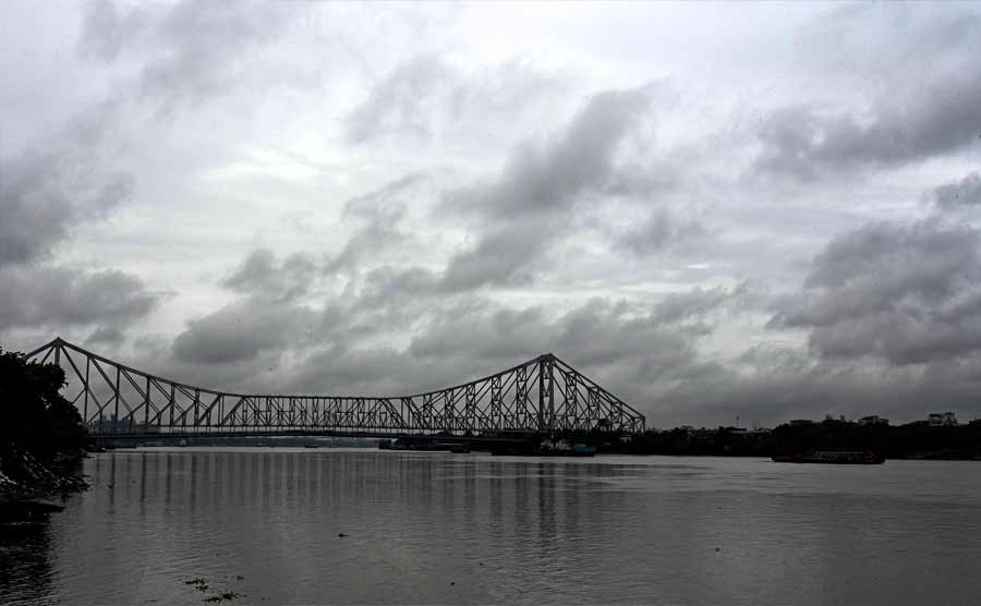
Cyclone Asani is unlikely to hit West Bengal as predicted earlier. Although it may trigger a wet spell over the next three days in Bengal, said senior experts from Indian Meteorological Department (IMD) on Monday.
The coastal areas in Bengal are likely to be more impacted than the other parts of the state.
“Cyclone Asani is not going to hit West Bengal, as a matter of fact, it is likely to be converted into a depression when it will come closest to West Bengal,” pointed out Mrutyunjay Mohapatra, director general of IMD, on Monday evening.
The IMD further said that Asani is slated to lose strength from May 10, and will turn into a depression when it comes closer to West Bengal around May 12.
“West Bengal is likely to have mostly rain between May 10 to 12, and some wind around 40 to 50km per hour,” confirmed G K Das, head of IMD Kolkata. The official further said that there is a minimum possibility of either storm surges or heavy wind.
“The rain that Kolkata and surroundings have been facing today, is however due to the thunderstorm and not caused by Asani which is still about 800km away from West Bengal,” said Sanjib Banerjee, deputy director-general of IMD on Monday.
“If the rain was due to a cyclone, it would not have been so diverse as we have found today,” added Banerjee. On Monday, till 5.30pm, Salt Lake and Alipore received 61 and 58mm of rain while Dumdum received 23mm and Diamond Harbour received 11mm.
“However, the moisture coming from the cyclone system may be playing an enhancing role in this thunderstorm,” added Banerjee.
Explaining further another scientist pointed out that it seems that some clouds, those that have got detached from the outer band of the cyclone system, are affecting the region. “Bangladesh and Myanmar are likely to face some impact along with coastal areas of West Bengal,” added Das.
Experts, unofficially, have also confirmed that Asani is unlikely to have a landfall as it is slated to recurve almost parallel to land from May 11 onwards; though part of the track may touch the coast near Visakhapatnam.
“The severe cyclonic storm ‘Asani’… moved nearly north-westwards with a speed of 16kmph during past 6 hours and lay… 450km southeast of Visakhapatnam and 610km south of Puri. It is very likely to move north-westwards till 10th may,” stated the IMD report released at 3.1 pm based on data gathered till 11.30am on Monday.
“It is likely to weaken gradually into a cyclonic storm during the next 24 hours,” further stated the IMD report.
“While officially we have said nothing about the landfall, it is quite clear that the cyclone path is likely to go virtually parallel to the coast from May 11 onwards and hence the landfall is unlikely,” said another climatologist associated with IMD. Mohapatra also reminded about the recurved cyclone path from May 11 onwards, while being quizzed about the landfall.
“Yes, the recurve will be there but it is difficult to pinpoint now whether part of the system will touch the coast or not near Vishakhapatnam,” opined another expert.
On Friday, the Indian Meteorological Department prediction showed that till May 10, the track of Asani was leading to the coastal area between Andhra Pradesh and Orissa; but recent prediction indicated the change of course, apparently under the influence of westerly wind according to weather experts.
“The recurve is apparently influenced by westerly upwards wind which operates above the cyclone system, apparently 10 to 12km above the land,” explained one weather expert.
Roxy Mathew Koll, a climate scientist from the Indian Institute of Tropical Meteorology, explained why such variability is observed in cyclone paths. “The sea surface temperature in the Bay of Bengal is warm during April-May and the wind conditions are optimal, both favouring the formation of cyclones … the tracks of these cyclones are generally regulated by upper-level winds, which display high variability. This is the reason why sometimes the track of the cyclone changes,” Koll pointed out.
“The cyclone system is likely to lose strength as multiple factors including dry wind coming from land, not so high sea surface temperature and others are expected to make an impact,” said Das to this reporter.
The West Bengal government, particularly the coastal districts as well as the city of Kolkata, has however started to make detailed preparations in case the cyclone makes an impact on the state.
“We are getting prepared at district and sub-divisional level; chief secretary and chief minister are also taking regular stock of the situation,” said a senior official.
“We have also got feedback that the cyclone may not be that dangerous but still the administration has been put on an alert mainly in South 24-Parganas and Purba Medinipur and also in Kolkata, Howrah, Hooghly, Nadia and parts of Paschim Medinipur,” stated a senior disaster department official on Monday evening.
Odisha: Eleven fishermen rescued
At least 11 fishermen from Odisha, who were stranded for around eight hours in the rough sea due to the raging 'Asani', were rescued on Monday with help of the Indian Coast Guard, an official said. The fishermen had on May 7 gone to Andhra Pradesh's Visakhapatnam to buy a fishing boat, and while returning from there, they were stuck in the sea around 4-5 km off the coast near Sonaput in Ganjam district after their newly-bought vessel developed some technical glitches, he said.
The fishermen, who were identified as residents of Markandi village under the Rangelunda block of the district, were stranded in the sea since 9 am of Monday before they were rescued, Odisha's Special Relief Commissioner (SRC) P K Jena said. (PTI)
