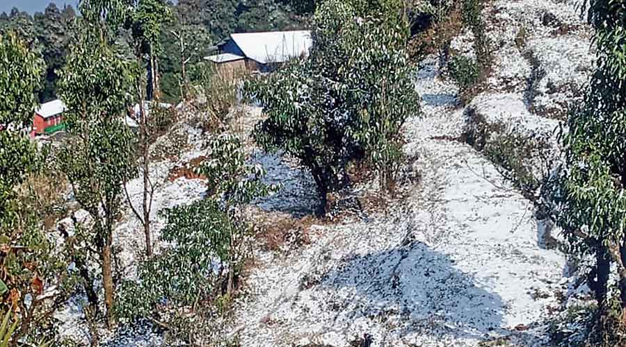
The last lap of winter started with the Celsius plunging four notches in 24 hours to settle at 13.7 degrees on Friday morning .
The next couple of days are likely to be colder, according to the Met forecast.
The impact of the cold northwesterly winds was being felt from Thursday evening. The intensity of the winds went up as the night progressed.
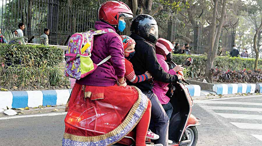
Despite being bright and sunny, the morning and afternoon were chilly and windy on Friday. Many Kolkatans, out on the roads, were seen covering their ears and heads even in the afternoon.
The cold winds dragged the day’s temperature down. The maximum temperature on Friday was 21.5 degrees, five notches below normal.
Tea stalls were crowded throughout the day and after sundown, people were seen cosying up to a fire in some of the areas in the city.
The mercury is likely to slide to the 12-degree range and stay there for the next 48 hours. Monday is also likely to be cold but the spell is likely to be interrupted from Tuesday. “Another western disturbance is likely to emerge by next weekend. It will trigger moisture incursion into the atmosphere and lead to a rise in the temperature,” said a Met official.
The system is also likely to trigger some rain in Kolkata and neighbouring areas. “The rain is likely on February 4 and 5,” he added.
The winter has been marked by multiple brief cold spells, each of them interrupted by a western disturbance.
The current cold spell is being billed as the final one this season to see the Celsius go under 13 degrees. “The minimum temperature is likely to rise to the 16 to 17 degrees Celsius range by next weekend. But even when the system weakens, we will be well into February and the mercury is unlikely to slide substantially,” said the Met official.

