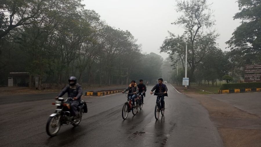
Several parts of Jharkhand on Thursday experienced rain and fog due to the impact of a fresh western disturbance passing through northern parts of the country.
The western disturbance as a trough in the middle and upper tropospheric level was existing at 5.8 km above the mean sea level.
Satellite pictures showed another trough running from Bihar to North interior Karnataka across Jharkhand, Chhattisgarh, and Telangana at 1.5 km above mean sea level,
Met data revealed that several places in northern, central and southern Jharkhand including Dhanbad, Bokaro, Koderma Deoghar, Giridih witnessed moderate rain of over 30 mm since last night, with the western disturbance impacting Jharkhand's weather last night.
Jamtara, Ramgarh, Hazaribagh, Lohardaga, and several places in Ranchi district too witnessed a good spell of unseasonal showers.

Commuters caught in the rain at Jamshedpur on Thursday. Bhola Prasad
Heavy moisture in the air and easterly wind pattern resulted in a rise in minimum temperature and heavy fog at some places.
Dense fog affected the surface visibility at Jamshedpur and its adjoining areas on Friday.
Weathermen said weather condition is expected to change from tomorrow. "We are expecting dry weather tomorrow with a fall in minimum temperature by 2-4 degrees Celsius in the next three days," said head of Ranchi Meteorological Centre Abhishek Anand.
He went on to say that a fresh feeble western disturbance is likely to affect the Western Himalayan region from the night of February 13, Sunday, which might again result in rainfall activity in Jharkhand around February 16.


