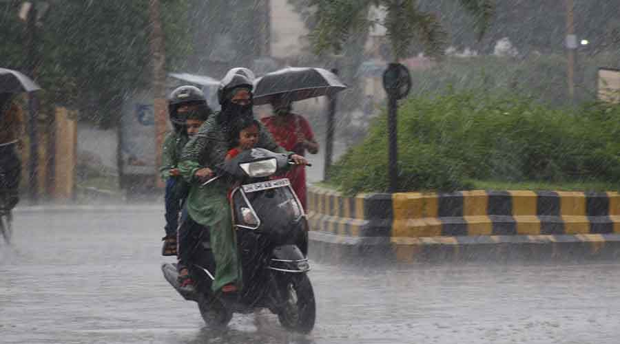
The southeast monsoon has revived, resulting in moderate to heavy rain at several places across Jharkhand during the last 24 hours.
Pakuria in Pakur district recorded the heaviest rainfall of 82mm followed by Jamshedpur and Lohardaga which since Wednesday evening recorded rainfall of around 60mm.
Nimdih in adjoining Seraikela-Kharsawan district and Bokaro witnessed around 50mm rain while Chaibasa and Chakradharpur in neighbouring West Singhbhum district recorded around 40mm rain.
Rajmahal in Sahebganj district and several places in Dumka and Giridih districts recorded over 30mm rain.
Met statistics revealed that as many as 15 observatories in different parts of the state recorded rainfall between 10mm and 20mm during the last 24 hours.
Four persons died in th state due to lightning strikes on Wednesday evening. The four casualties included two farmers from Godda district and one death each from Deoghar and Pakur district.
Weathermen at Ranchi Met Centre said the southwest monsoon revived after remaining in a weak phase for more than week.
In its forecast, the Ranchi Met Centre predicted light to moderate thunderstorm activity and heavy rain at isolated places of north-west, southern and central Jharkhand during the next three days.
A low-pressure area is likely to form over west-central and adjoining the northwest Bay of Bengal off north Andhra Pradesh-south Odisha coasts around July 11. This would trigger widespread rain in Jharkhand.
Thursday's satellite pictures indicated a trough at mean sea level from northwest Uttar Pradesh to northeast Bay of Bengal across southwest Bihar, Jharkhand and Gangetic West Bengal.
A weather bulletin issued by Ranchi Met Centre showed a cyclonic circulation over eastern Uttar Pradesh at 0.9 km above mean sea level extending upto 1.5km above mean sea level. Another cyclonic circulation was persisting over northwest Bay of Bengal and adjoining coastal areas of Odisha and West Bengal extending upto 4.5km above mean sea level.
A north to south trough was also stretched from Jharkhand to north coastal Andhra Pradesh across coastal areas of Odisha and West Bengal to 3.1 Km above mean sea level.
During this monsoon, Jharkhand has so far received rainfall of 329 mm against a normal of 276 mm, a surplus of 19 per cent.