The merger of two rivers near Mount Everest around 89,000 years ago caused the mountain to rise faster, scientists said on Monday, resolving the longstanding mystery why Everest is about 250 metres higher than the other tallest Himalayan peaks.
A study by Chinese and UK researchers has suggested that the east-west flowing Arun river north of Mount Everest abruptly merged with the north-south flowing Kosi, triggering landscape changes and adding to Everest’s rise, driven by tectonic forces.
The Arun-Kosi merger led to increased erosion, chipping away rocks and soil off the mountainside, resulting in a loss of the mountain’s mass and making the intense pressure from the mantle beneath the crust push the mountain upward faster.
Everest, which is rising at 2mm a year, is currently between 15 metres and 50 metres taller than it would have been without the merger, the scientists said in their study, published in the journal Nature Geoscience on Monday.
“Our study shows how sudden changes in river systems can have far-reaching effects on landscapes,” Jingen Dai, professor of geology at the China University of Geosciences, Beijing, and a member of the study team, told The Telegraph
via email.
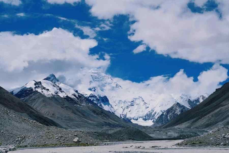
Everest’s altitude, compared with its neighbouring Himalayan peaks, has long intrigued geologists. At 8,849 metres above the sea level, Everest is about 250 metres higher than the next three Himalayan peaks — Kanchenjunga (8,586m), Lhotse (8,516m) and Makalu (8,485m).
Geologists have viewed Everest’s height as surprising because tectonic forces — resulting from the Indian plate slipping beneath the Eurasian plate — are fairly uniform across the Himalayas and by themselves cannot explain why Everest towers over other peaks.
The China-UK team used numerical models to simulate the Kosi river network’s evolution over time and compared it to its current topography. Their study has suggested that the Arun’s merger with the Kosi — a phenomenon called drainage piracy — led to increased erosion, causing the river to wash away billions of tonnes of soil and rocks over the past 89,000 years, reducing the mountain’s mass.
With a reduced mass, the mountain has risen faster because of its buoyancy on the mantle. "Imagine an example: a boat in water carrying a large weight," said Adam Smith, a team member from the University College London. "If we throw the large weight overboard, the boat floats higher in the water."
The scientists have calculated that the Arun-Kosi merger resulted in an increased uplift rate between 0.16mm and 0.53mm a year. Over 89,000 years, for Everest, that translates into an additional altitude of 15 to 50 metres.
The added uplift isn’t restricted to Everest but also affects neighbouring peaks such as Lhotse and Makalu, the world’s fourth and fifth highest peaks. Makalu, located closest to the Arun river, experiences a slightly higher uplift rate.
"Mount Everest and its neighbouring peaks are rising because this effect is raising them up faster than erosion is wearing them down," Mathew Fox, a team member and associate professor of earth sciences at the University College London, said.