The season's eleventh Nor'wester and this month's second, hit Jamshedpur and several other places resulting in widespread lightning and thundershowers.
Two storms originated from the Chhotanagpur plateau area, the first of which originated in Hazaribagh in the state’s north-west region.
It covered places like Koderma and Ramgarh before hitting the eastern part of Ranchi on Sunday afternoon, with wind speed notching around 35 kmph, and a storm followed by thundershowers.
The second storm originated from Giridih due to a sudden formation of convective clouds.
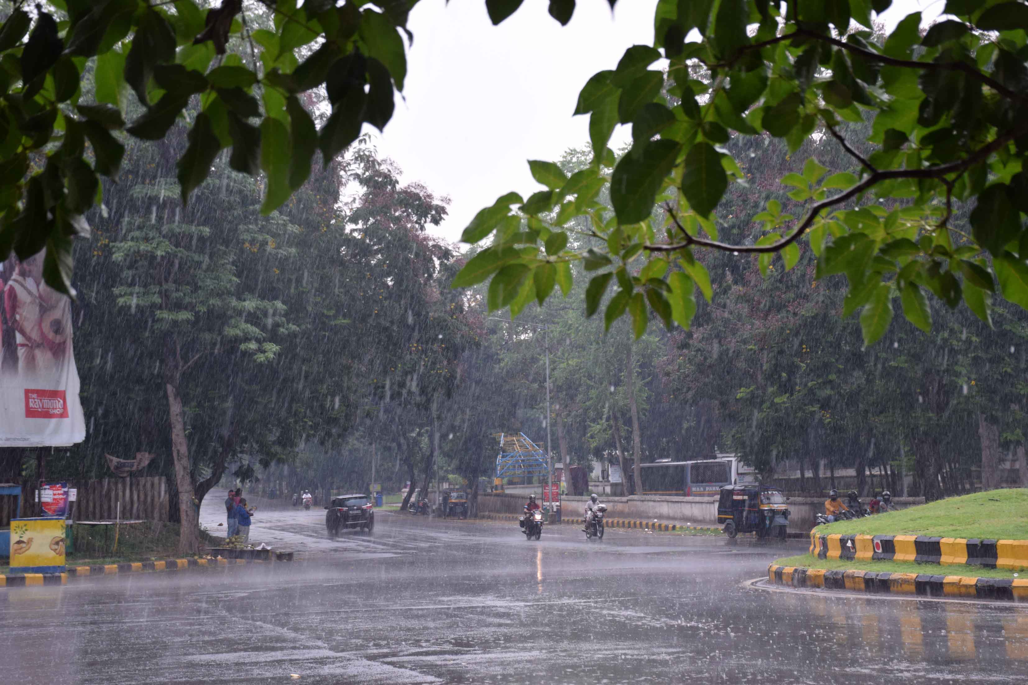
It travelled through Khunti, West Singhbhum, and Seraikela-Kharsawan before reaching Jamshedpur around 2.30 pm, with a wind speed of around 30 kmph, lasting about 10 minutes and followed by moderate showers.
Chaibasa in West Singhbhum also experienced the summer saviour storm at the same time, while Ramgarh felt a two-minute squall.
Jamshedpur recorded 15mm of rain while Chaibasa in West Singhbhum got 12mm of rain, followed by 5mm in Ranchi.
Ramgarh, Giridih and Gumla recorded rainfall between 5mm and 10mm.
IMD's Ranchi Met Centre director SD Kotal confirmed the tempest was a Nor'wester.
'It gained momentum due to a cyclonic circulation over Bihar and eastern Uttar Pradesh extending 0.9 km above the mean sea level,” said Kotal.
A weather analyst at the Patna Meteorological Centre said, 'Our observations indicated lightning and thundershowers in different areas of Jharkhand with varying wind speed.”
Statistics revealed that day temperatures witnessed a drop in several districts of Jharkhand due to the thundershowers.
Monsoon updates
IMD predicted that a low-pressure system that will form over the Bay of Bengal by June 8 will help advance the monsoons.
Today's Met study revealed that conditions are becoming favourable for the movement of southwest monsoon into some parts of Maharashtra, Karnataka, Andhra Pradesh, remaining parts of Bay of Bengal, north-eastern states including Sikkim and some parts of coastal Odisha around June 11.