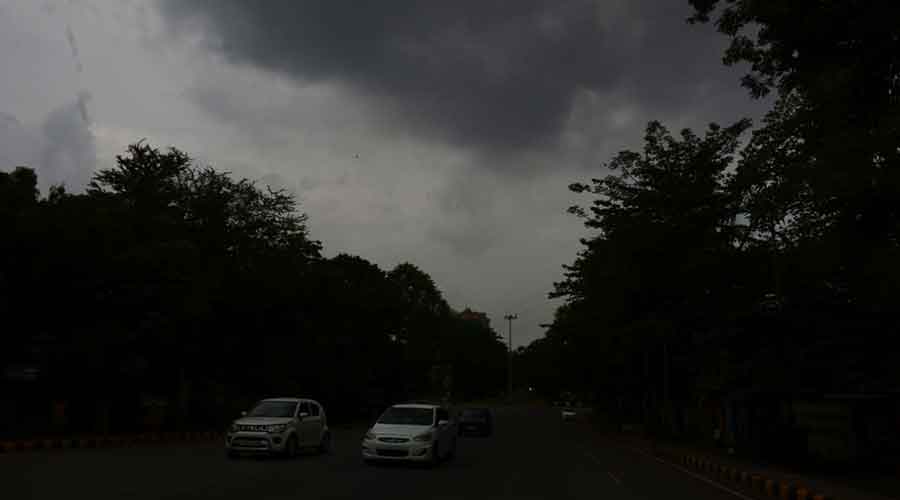
The southwest monsoon has become weak over Jharkhand and this will result in subdued rainfall activity across Jharkhand in the next five days at least, said IMD officials on Sunday.
Statistics revealed that only a few IMD observatories recorded rainfall during the past 24 hours.
Only a few places in Palamau and Ranchi districts including Manatu and Mandar recorded moderate rain while as many as half-a-dozen IMD observatories recorded light rain below 10 mm during the last 24 hours.
Head of Ranchi Met Centre Abhishek Anand said, "Monsoon currents have become weak. Jharkhand would witness reduced rainfall activity in the next five days."
The Ranchi Met Centre, however, issued an alert of lightning and thundershowers in isolated pockets of the state during the next 72 hours due to formation of local cumulonimbus clouds.
Sunday's satellite pictures suggested a trough at mean sea level from northwest Uttar Pradesh to northwest Bay of Bengal across East Uttar Pradesh, southern Jharkhand and northern Odisha.
A cyclonic circulation was also hovering over neighbouring north Chhattisgarh extending upto 3.1 Km above mean sea level.
The Met office forecast says that heavy showers are expected again from July 3 because of the revival of monsoon trough.
Meanwhile, so far Jharkhand has actually received 266 mm of rain against a normal of 167.6mm, a surplus of 59 per cent.
Weathermen said the rain surplus figure would witness a fall due to reduced rainfall activity in the next few days.