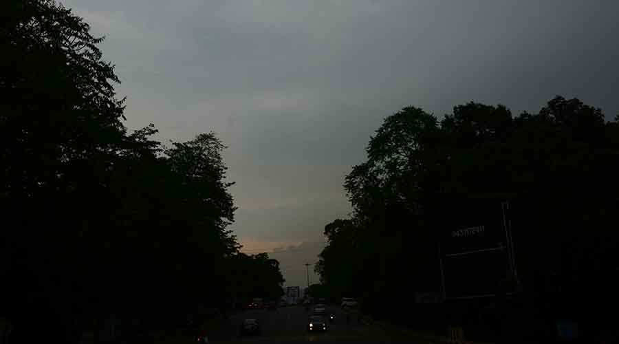
IMD's Ranchi Meteorological Centre on Sunday said that the monsoon was likely arrive in Jharkhand between June 15 and June 18 aided by the formation of a low-pressure area over the Bay of Bengal around June 11.
"A low pressure area is likely to form over north Bay of Bengal around June 11. This was indicated by the satellite pictures and wind chart analysis. It will help in the advancement of southwest monsoon into Jharkhand apart from neighbouring West Bengal and Odisha, " said a duty officer at the Ranchi Met Centre.
The weatherman said the low pressure is expected to intensify into a depression, but ruled out the possibility of its intensifying into a cyclonic storm.
Fairly widespread rainfall with heavy showers at isolated places is likely to occur in Jharkhand and its neighbouring states owing to the low pressure system.
The southwest monsoon has already set in over Kerala on Thursday.
On Sunday, the southwest monsoon advanced into Maharashtra, entire Karnataka parts of central Bay of Bengal and most parts of Sub Himalayan West Bengal and Sikkim.
As predicted by the weather department, the maximum reading in several districts including Dumka, Pakur and Sahebganj touched the oppressive 40 degree Celsius
Statistics of the last 24-hours revealed that Dumka recorded tge highest maximum temperature of 40.8°C .
Sahebganj and Jamtara recorded 40.1°C while Pakur recorded 40°C.
The Met department predicted gradual rise in maximum temperature by 2-3°C during the next three days over the state.
Weathermen said a cyclonic circulation lay over sub-Himalayan West Bengal extending upto 1.5 km above mean sea level.
The forecast for the next three days indicated a generally cloudy sky with light to moderate rain or thunder likely at isolated places over central and southern Jharkhand.


