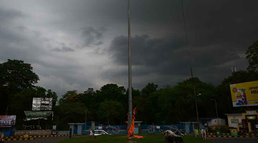
IMD's Ranchi Met Centre issued an alert of widespread thunderstorm and lightning over Jharkhand in the next 24 hours due to the impact of two cyclonic circulations.
Head of Ranchi Met Centre Abhishek Anand said two cyclonic circulations - one over Uttar Pradesh and the other over Southwest Bay of Bengal - were impacting Jharkhand and that this would result in thunderstorm and lightning, accompanied by rain, over several Jharkhand districts in the next 24 hours.
Light to moderate rain occurred at many places on Friday, while certain areas like Jamshedpur experienced heavy rain during the past 24 hours (5.30 pm of Thursday to 5.30 pm of Friday ).
Lightning claimed seven lives on Thursday evening. Three persons, including a couple, lost their lives while four others sustained injuries during a lightning strike at Chowatand village in Gomia block of Bokaro. They were MGNREGA workers digging a well. To protect themselves from sudden rain they took shelter in a hut which was under a tree. Lightning struck the hut, killing them on the spot.
Lightning resulted in two deaths in Garhwa district while two villagers, one each in Latehar and Palamau, were killed after being struck by a bolt.
According to Met records, Arki in Khunti recorded the highest rainfall 66 mm. This was followed by Jamshedpur which recorded rainfall of 55mm in the past 24 hours.
Nimdih in adjoining Seraikela-Kharsawan district and Tenughat in Bokaro district recorded 45mm rain. Ghatshila in East Singhbhum recorded 44mm rain. Ramgarh, Chaibasa in West Singhbhum , Hazaribagh, Koderma, Godda and several other places recorded rainfall of over 20 mm in the past 24 hours.
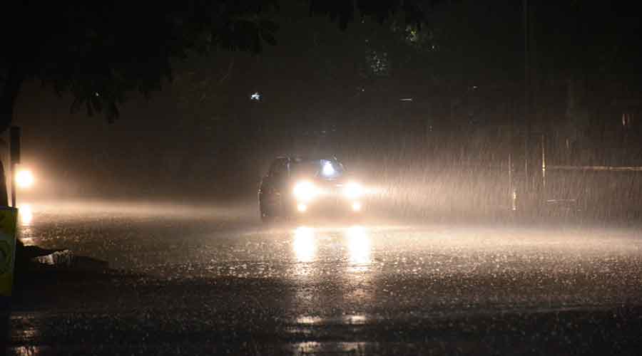
Rain lashes Jamshedpur on Thursday night. Picture by Bhola Prasad
Weathermen in Ranchi said satelite pictures indicated that a cyclonic circulation over Southwest Bay of Bengal was lying over Southeast and Central Bay of Bengal between 3.1km and 5.8km above mean sea level.
Under its influence, a low-pressure area is likely to form over East-central Bay of Bengal and adjoining north Andaman Sea around May 22. It is very likely to intensify into a cyclonic storm by May 24 and move north-westwards and reach the Odisha-West Bengal coast around May 26.
A trough was also running from sub-Himalayan West Bengal to south Odisha across Jharkhand extending upto 0.9km above mean sea level.

