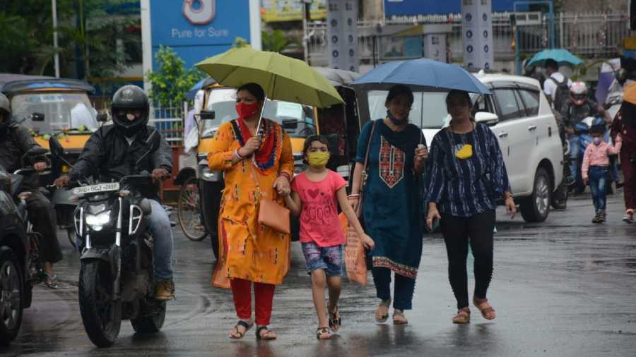
The low-pressure area originating from the Bay of Bengal resulted in rain at many places across Jharkhand and neighbouring Bengal since last evening.
Districts close to Bengal, like Sahebganj, Jamtara, Ramgarh, Giridih and Ghatshila in East Singhbhum, witnessed a good spell of rain. Rajmahal in Sahibganj recorded over 50 mm rain while Giridih and Ghatshila experienced around 45 mm rain. Jamtara, Ramgarh, Jamshedpur and several other places in Kolhan recorded around 30 mm of rain.
Bokaro, Dhanbad, Deoghar, Jamtara, Godda and several other districts recorded moderate rain.
IMD's Ranchi Met Centre issued a forecast of moderate thunderstorms, accompanied by lightning, along with gusty wind (30-40 kmph gusting to 50 kmph), at isolated places over Jharkhand during the next 24 hours.
A forecast of heavy rain was also issued for isolated places over western and northern parts of Jharkhand on Thursday, September 30.
Wednesday's satellite pictures indicated the well-narked low-pressure area over western parts of Gangetic West Bengal and the associated cyclonic circulation extending upto mid-tropospheric level.
The east-west trough was on Wednesday running from the cyclonic circulation associated with the well-marked low- pressure area over south Gujarat region and Gulf of Khambhat to the cyclonic circulation associated with the low-pressure area over western parts of Gangetic West Bengal and across Madhya Pradesh, Chhattisgarh and Jharkhand and extending upto 5.8 km above mean sea level.
The India Meteorological Department on Wednesday also predicted heavy rainfall in neighbouring Bihar between Thursday and Sunday.
Weathermen said the current rain spell will help in reducing the deficit rain of Jharkhand which on Wednesday stood at four per cent. Head of Ranchi Met Centre Abhishek Anand said formation of another tropical cyclone in Arabian Sea would prolong monsoon's stay in Jharkhand and its neighbouring states.


